


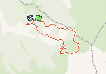

16.6 km | 32 km-effort

User


FREE GPS app for hiking
 SityTrail
IGN / Geographical institutes
SityTrail World
The world is yours!
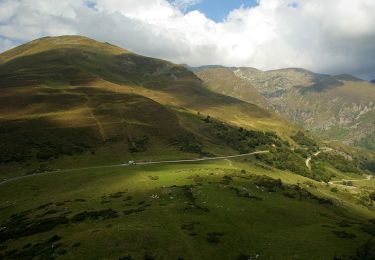
Trail Walking of 9.7 km to be discovered at Occitania, Ariège, Le Port. This trail is proposed by CAMBON.
Départ du gîte de LAFIOU
Montée au col du Goulur
Passage au Goutet


Walking
Walking

Walking
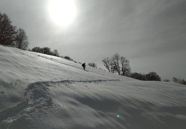
Snowshoes
Walking

Walking

On foot

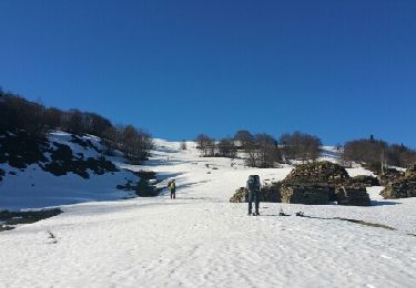
Snowshoes
Equestrian