


Grande et Petite Moucherolle

ajd26
User


Length
12.8 km

Max alt
2262 m

Uphill gradient
1109 m
Km-Effort
28 km

Min alt
1233 m

Downhill gradient
1109 m
Boucle
Yes
Creation date :
2020-07-23 06:41:04.0
Updated on :
2023-10-09 08:16:41.637
4h34
Difficulty : Difficult

FREE GPS app for hiking
 SityTrail
IGN / Geographical institutes
SityTrail Plus
The world is yours!
About
Trail Walking of 12.8 km to be discovered at Auvergne-Rhône-Alpes, Isère, Corrençon-en-Vercors. This trail is proposed by ajd26.
Description
passage de la grande à la petite un peu technique, il faut mettre les mains
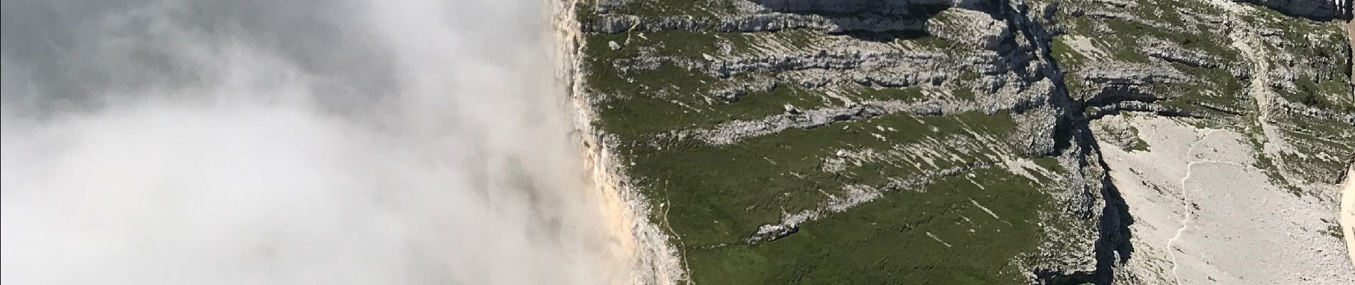
Photos


Positioning
Country:
France
Region :
Auvergne-Rhône-Alpes
Department/Province :
Isère
Municipality :
Corrençon-en-Vercors
Location:
Unknown
Start:(Dec)
Start:(UTM)
699155 ; 4988334 (31T) N.
Comments