


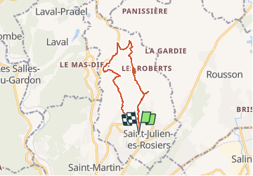

15.1 km | 21 km-effort


User


FREE GPS app for hiking
 SityTrail
IGN / Geographical institutes
SityTrail World
The world is yours!
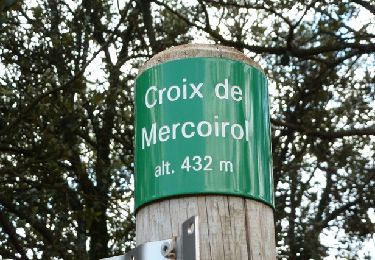
Trail Walking of 13.4 km to be discovered at Occitania, Gard, Saint-Julien-les-Rosiers. This trail is proposed by dansmabulle.

Walking
Walking
Walking
Walking

Walking
On foot

Walking

Walking

Enlever 1h00, parcours de 2h45 sans forcer, niveau moyen à cause d'une montée au départ. Jolie vue panoramique.