


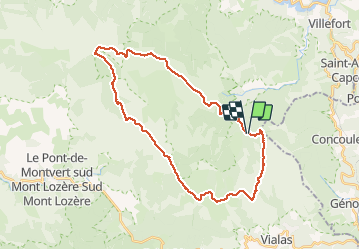

11.2 km | 14.8 km-effort


User


FREE GPS app for hiking
 SityTrail
IGN / Geographical institutes
SityTrail World
The world is yours!
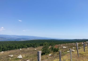
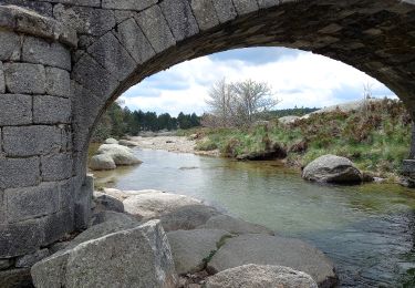
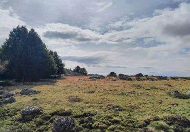
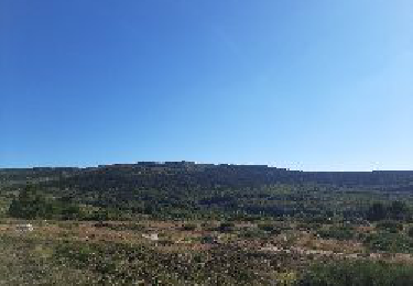
Trail Walking of 33 km to be discovered at Occitania, Lozère, Vialas. This trail is proposed by Thierry Christophle.
belle randonnée sans difficulté technique,si ce n'est la distance 😎
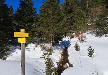
Gourdouse, l'Aubaret, le Pont du Tarn, l'Hôpital, route forestière du Mont Lozère, pic Cassini


Walking
Walking

Walking

Walking
Walking
Electric bike
On foot
On foot
Walking