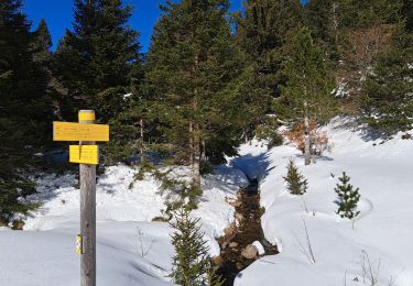
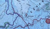
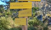
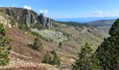
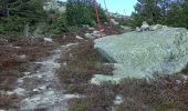
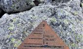
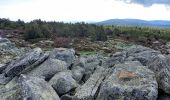
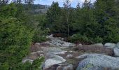
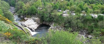
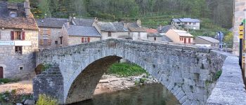
Trail On foot Vialas - J2:Mas de la Barque-Pont de Montvert - Photo

J2:Mas de la Barque-Pont de Montvert

© OpenStreetMap contributors
Length
Length
23 km
Max alt
Max alt
1678 m
Uphill gradient
Uphill gradient
442 m
Km-Effort
Km-Effort  
31 km
Min alt
Min alt
895 m
Downhill gradient
Downhill gradient
967 m
Boucle
Boucle
No
Creation date :
2022-06-13 08:37:21.314
Updated on :
2022-06-20 12:08:43.387

(0 Reviews)

On foot
On foot
6h58
Difficulty : Medium
Walking
Walking
6h58
Difficulty : Difficult

Scan this QR Code to open this trail in the SityTrail application

FREE GPS app for hiking

Logo SityTrail SityTrail

IGN / Geographical institutes

Download SityTrail from the App Store Download SityTrail from Google Play

Logo SityTrail SityTrail World

The world is yours!

Download SityTrail from the App Store Download SityTrail from Google Play Download SityTrail on Huawei AppGallery

About

Trail On foot of 23 km to be discovered at Occitania, Lozère, Vialas. This trail is proposed by canardDenis.

Description

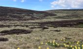
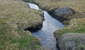
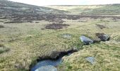
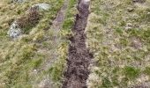
Deuxème étape au long du Tarn. Du Mas de la Barque monter au sommet du Pic Cassini puis aller chercher les sources du Tarn vers
la Peyre Plantade et suivre son cours naissant par Pont du Tarn jusqu'à Pont de Montvert

Elevation profile

Photos

35 photos in total. Please click on a photo to see them all in the gallery.

Points of interest

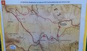
Point of interest Pont de Montvert - Sud Mont Lozère - Mas de la Barque - Photo
canardDenis
PONT DE MONTVERT - SUD MONT LOZÈRE 
Point of interest Pont de Montvert - Sud Mont Lozère - balisé bois de Bellecoste 1495m - Photo
canardDenis
PONT DE MONTVERT - SUD MONT LOZÈRE 
Point of interest Pont de Montvert - Sud Mont Lozère - piste à gauche 1505m - Photo
canardDenis
PONT DE MONTVERT - SUD MONT LOZÈRE 
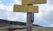
Point of interest Pourcharesses - col de l'aigle 1605m - Photo
canardDenis
POURCHARESSES 
Point of interest Pont de Montvert - Sud Mont Lozère - continuer tout droit ou à droite pour raquettes - Photo
canardDenis
PONT DE MONTVERT - SUD MONT LOZÈRE 
Point of interest Pont de Montvert - Sud Mont Lozère - sentier caché juste à gauche des plaques - Photo
canardDenis
PONT DE MONTVERT - SUD MONT LOZÈRE 
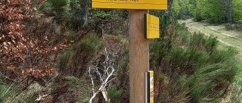
Point of interest Pont de Montvert - Sud Mont Lozère - suivre balisage jaune à  gauche de la fourche  - Photo
canardDenis
PONT DE MONTVERT - SUD MONT LOZÈRE 
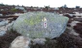
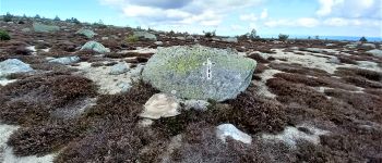
Point of interest Altier - Crucifix peint sur rocher - Photo
canardDenis
Point of interest Altier - cairn - Photo
canardDenis
ALTIER 
Point of interest Altier - balisé Peyre Plantade - Photo
canardDenis
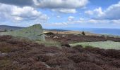
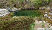
Point of interest Pont de Montvert - Sud Mont Lozère - Paysage des sources du Tarn - Photo
canardDenis
PONT DE MONTVERT - SUD MONT LOZÈRE 
Point of interest Pont de Montvert - Sud Mont Lozère - Le Tarn à ses sources - Photo
canardDenis
PONT DE MONTVERT - SUD MONT LOZÈRE 
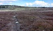
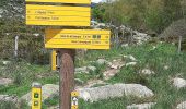
Point of interest Pont de Montvert - Sud Mont Lozère - Sentier des Sources - Photo
canardDenis
PONT DE MONTVERT - SUD MONT LOZÈRE 
Point of interest Pont de Montvert - Sud Mont Lozère - belle piscine  - Photo
canardDenis
PONT DE MONTVERT - SUD MONT LOZÈRE 
Point of interest Pont de Montvert - Sud Mont Lozère - parking  prendre GR736 à   - Photo
canardDenis
PONT DE MONTVERT - SUD MONT LOZÈRE 
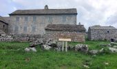
Point of interest Pont de Montvert - Sud Mont Lozère - Mas Camargues - Photo
canardDenis
PONT DE MONTVERT - SUD MONT LOZÈRE 
Point of interest Pont de Montvert - Sud Mont Lozère - Bellecoste- prendre sentier fermé à droite - Photo
canardDenis
PONT DE MONTVERT - SUD MONT LOZÈRE 
Point of interest Pont de Montvert - Sud Mont Lozère - prendre piste à droite - Photo
canardDenis
PONT DE MONTVERT - SUD MONT LOZÈRE 
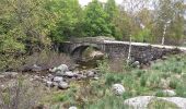
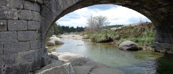
Point of interest Pont de Montvert - Sud Mont Lozère - Pont du Tarn  - Photo
canardDenis
PONT DE MONTVERT - SUD MONT LOZÈRE 
Point of interest Pont de Montvert - Sud Mont Lozère -  sentier à droite  - Photo
canardDenis
PONT DE MONTVERT - SUD MONT LOZÈRE 
Point of interest Pont de Montvert - Sud Mont Lozère - balisé continuer tout droit  - Photo
canardDenis
PONT DE MONTVERT - SUD MONT LOZÈRE 
Point of interest Pont de Montvert - Sud Mont Lozère - 1er barrage-suivre la piste - Photo
canardDenis
PONT DE MONTVERT - SUD MONT LOZÈRE 
Point of interest Pont de Montvert - Sud Mont Lozère - continuer tout droit - Photo
canardDenis
PONT DE MONTVERT - SUD MONT LOZÈRE 
Point of interest Pont de Montvert - Sud Mont Lozère -  prendre à droite - Photo
canardDenis
PONT DE MONTVERT - SUD MONT LOZÈRE 
Point of interest Pont de Montvert - Sud Mont Lozère - Le Merlet - Photo
canardDenis
PONT DE MONTVERT - SUD MONT LOZÈRE 
Point of interest Pont de Montvert - Sud Mont Lozère - portail pui tout droit  - Photo
canardDenis
PONT DE MONTVERT - SUD MONT LOZÈRE 
Point of interest Pont de Montvert - Sud Mont Lozère - arrivée sur route D998 - Photo
canardDenis
PONT DE MONTVERT - SUD MONT LOZÈRE 
Point of interest Pont de Montvert - Sud Mont Lozère - quitter route pour sentier à gauche  - Photo
canardDenis
PONT DE MONTVERT - SUD MONT LOZÈRE 
Point of interest Pont de Montvert - Sud Mont Lozère - retour sur route  - Photo
canardDenis
PONT DE MONTVERT - SUD MONT LOZÈRE 
Point of interest Pont de Montvert - Sud Mont Lozère - arrivée sur goudron à gauche  - Photo
canardDenis
PONT DE MONTVERT - SUD MONT LOZÈRE 
Point of interest Pont de Montvert - Sud Mont Lozère - Le-Pont-de-Montvert - Photo
canardDenis
PONT DE MONTVERT - SUD MONT LOZÈRE 

Positioning

Country:
France
Region :
Occitania
Department/Province :
Lozère
Municipality :
Vialas
Location:
Unknown
Start:(UTM)
569714 ; 4915077 (31T) N.

Trails nearby

Trail Walking Pont de Montvert - Sud Mont Lozère - Pic Cassini  - Photo
Walking
GUIDE
nadinebondoux

Walking

Medium
Pont de Montvert - Sud Mont Lozère, Occitania, Lozère, France
11.2 km | 14.8 km-effort
5h 11min
Yes
Trail Walking Pont de Montvert - Sud Mont Lozère - Sources du Tarn - Photo
Walking
GUIDE
nadinebondoux

Walking

Medium
Pont de Montvert - Sud Mont Lozère, Occitania, Lozère, France
18.2 km | 24 km-effort
5h 41min
Yes
Trail Walking Pont de Montvert - Sud Mont Lozère - Le Pic Cassini - Photo
Walking
GUIDE
Roger Philippe Wallez

Walking

Difficult
Pont de Montvert - Sud Mont Lozère, Occitania, Lozère, France
12.1 km | 15.7 km-effort
5h 30min
Yes
Trail Walking Vialas - Mas de la barque source du Tarn - Photo
Walking
GUIDE
Roger Philippe Wallez

Walking

Very difficult
Vialas, Occitania, Lozère, France
17.9 km | 23 km-effort
6h 24min
Yes
Trail Electric bike Vialas - TOUR DU MONT LOZERE - Photo
Electric bike
asclier0

Electric bike

Easy
Vialas, Occitania, Lozère, France
33 km | 41 km-effort
3h 0min
Yes
Trail On foot Pont de Montvert - Sud Mont Lozère - Sentier de Mas Camargues - Photo
On foot
PRO

On foot

Easy
Pont de Montvert - Sud Mont Lozère, Occitania, Lozère, France
3.1 km | 3.9 km-effort
52min
Yes
Trail Walking Vialas - Mont Lozère : Mas de la Barque - Photo
Walking
Thierry Christophle

Walking

Difficult
Vialas, Occitania, Lozère, France
33 km | 43 km-effort
7h 8min
Yes
Trail Walking Vialas - Pic cassini 130720 - Photo
Walking
fario

Walking

Very difficult
Vialas, Occitania, Lozère, France
14.8 km | 21 km-effort
4h 22min
Yes
Trail Walking Pont de Montvert - Sud Mont Lozère - La Taillade bis - Photo
Walking
genevieve

Walking

Pont de Montvert - Sud Mont Lozère, Occitania, Lozère, France
5.1 km | 6.7 km-effort
1h 34min
Yes


Close
My subscriptions