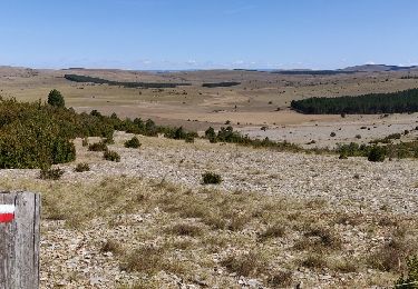
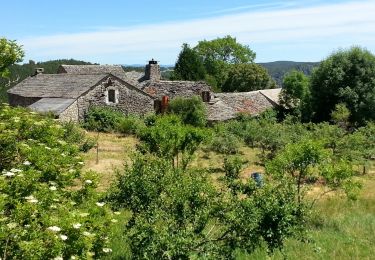
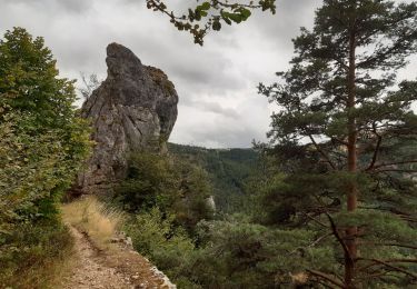
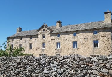
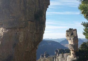
Trail Walking Hures-la-Parade - Chemin de St Guilhem - Hyelzas - Camprieu - Photo

Chemin de St Guilhem - Hyelzas - Camprieu

 Kargil
Kargil

User GUIDE

© OpenStreetMap contributors
Length
Length
26 km
Max alt
Max alt
1257 m
Uphill gradient
Uphill gradient
818 m
Km-Effort
Km-Effort  
37 km
Min alt
Min alt
701 m
Downhill gradient
Downhill gradient
663 m
Boucle
Boucle
No
Creation date :
2020-07-26 16:54:01.773
Updated on :
2020-07-26 17:06:38.352

(0 Reviews)

Walking
Walking
7h50
Difficulty : Very difficult

Scan this QR Code to open this trail in the SityTrail application

FREE GPS app for hiking

Logo SityTrail SityTrail

IGN / Geographical institutes

Download SityTrail from the App Store Download SityTrail from Google Play

Logo SityTrail SityTrail World

The world is yours!

Download SityTrail from the App Store Download SityTrail from Google Play Download SityTrail on Huawei AppGallery

About

Trail Walking of 26 km to be discovered at Occitania, Lozère, Hures-la-Parade. This trail is proposed by Kargil.

Elevation profile

Points of interest

Point of interest Hures-la-Parade - Gîte d'étape de la Doline - Photo
Kargil
Point of interest Hures-la-Parade - Gîte d'étape - Photo
Kargil
HURES-LA-PARADE 
Point of interest Saint-Sauveur-Camprieu - L'Auberge du Bonheur - Photo
Kargil
SAINT-SAUVEUR-CAMPRIEU 

Positioning

Country:
France
Region :
Occitania
Department/Province :
Lozère
Municipality :
Hures-la-Parade
Location:
Unknown
Start:(UTM)
525802 ; 4896033 (31T) N.

Trails nearby

Trail Mountain bike Meyrueis - cause noir mai 2020 - Photo
Mountain bike
richard.roure

Mountain bike

Easy
(1)
Meyrueis, Occitania, Lozère, France
36 km | 44 km-effort
4h 37min
Yes
Trail Walking Saint-Pierre-des-Tripiers - Les Arcs de Saint-Piere - Photo
Walking
frizou83

Walking

Easy
(1)
Saint-Pierre-des-Tripiers, Occitania, Lozère, France
3.8 km | 4.8 km-effort
1h 2min
Yes
Trail Walking Hures-la-Parade - Tour du Causse Méjean - Etape 4 - Photo
Walking
nolsim

Walking

Easy
Hures-la-Parade, Occitania, Lozère, France
15.7 km | 19.6 km-effort
4h 5min
No
Trail Walking Saint-Pierre-des-Tripiers - Grands Causses - La Viale - Corniches de la Jonte et du Tarn - 2016 07 03 - 880m 20,7km - Photo
Walking
Orcal37

Walking

Medium
Saint-Pierre-des-Tripiers, Occitania, Lozère, France
21 km | 30 km-effort
6h 40min
Yes
Trail Walking Hures-la-Parade - GR6 jour 11 Meyrueis - Photo
Walking
werth

Walking

Medium
Hures-la-Parade, Occitania, Lozère, France
15.4 km | 19.4 km-effort
7h 17min
No
Trail Walking Veyreau - Tour de Veyreau - Photo
Walking
Indi34

Walking

Medium
Veyreau, Occitania, Aveyron, France
9.4 km | 15.3 km-effort
3h 0min
Yes
Trail Other activity Saint-Pierre-des-Tripiers - la viale et corniches - Photo
Other activity
carmelocruz

Other activity

Very easy
Saint-Pierre-des-Tripiers, Occitania, Lozère, France
17.4 km | 26 km-effort
4h 29min
Yes
Trail Walking Saint-Pierre-des-Tripiers - SityTrail - Saint Pierre des Tripiers - Arcs de Saint Pierre - Photo
Walking
Gpoujade

Walking

Medium
Saint-Pierre-des-Tripiers, Occitania, Lozère, France
6.9 km | 9.4 km-effort
2h 7min
Yes
Trail Mountain bike Saint-Pierre-des-Tripiers - SityTrail - Puech de la Caxe - Photo
Mountain bike
Gpoujade

Mountain bike

Difficult
Saint-Pierre-des-Tripiers, Occitania, Lozère, France
27 km | 33 km-effort
2h 18min
Yes


Close
My subscriptions