


18.6 km | 24 km-effort


User GUIDE


FREE GPS app for hiking
 SityTrail
IGN / Geographical institutes
SityTrail World
The world is yours!
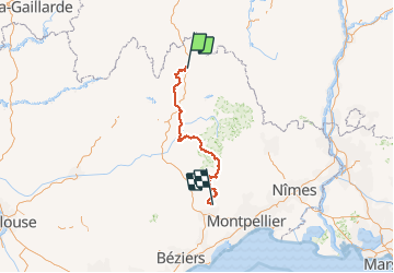
Trail Walking of 242 km to be discovered at Occitania, Lozère, Peyre en Aubrac. This trail is proposed by Kargil.
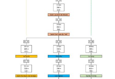
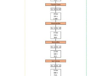
Variante par Malville et Les Vignes selon mon inspiration, plus sportive que l'itinéraire de base.
Tracée sur 14 jours
Le détail de chaque étape et 2 autres variantes sont publiées
Le synoptique joint en photo donne un aperçu des tracés
Enfin, il est temps de retourner à Aumont-Aubrac. La meilleure façon est d’utiliser les services de la Malle Postale (transports bagages et passagers) : www.lamallepostale.com.
Et pour rejoindre Montpellier TGV, ligne 668 de Hérault transports : www.herault-transport.fr


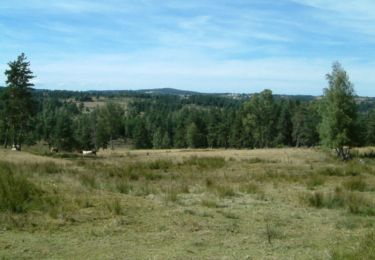
Walking
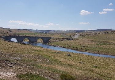
Walking

Walking

Walking

Walking
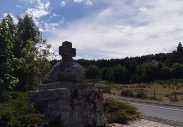
Walking
Walking
Walking