Trail Walking Nancy - Nancy Matin Laneuveville Nancy - Photo

Nancy Matin Laneuveville Nancy

 Toyot 8
Toyot 8

User

© OpenStreetMap contributors
Length
Length
46 km
Max alt
Max alt
417 m
Uphill gradient
Uphill gradient
477 m
Km-Effort
Km-Effort  
52 km
Min alt
Min alt
190 m
Downhill gradient
Downhill gradient
477 m
Boucle
Boucle
Yes
Creation date :
29/07/2020 03:02
Updated on :
29/07/2020 12:16

(0 Reviews)

Walking
Walking
8h13
Difficulty : Easy

Scan this QR Code to open this trail in the SityTrail application

FREE GPS app for hiking

Logo SityTrail SityTrail

IGN / Geographical institutes

Download SityTrail from the App Store Download SityTrail from Google Play

Logo SityTrail SityTrail Plus

The world is yours!

Download SityTrail from the App Store Download SityTrail from Google Play Download SityTrail on Huawei AppGallery

About

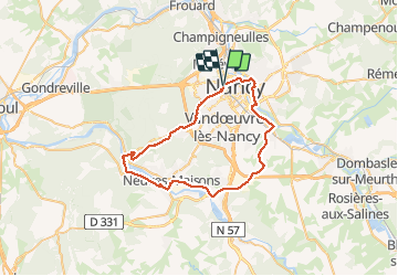
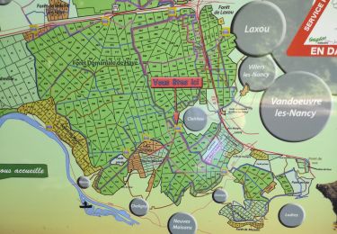
Trail Walking of 46 km to be discovered at Grand Est, Meurthe-et-Moselle, Nancy. This trail is proposed by Toyot 8.

Description

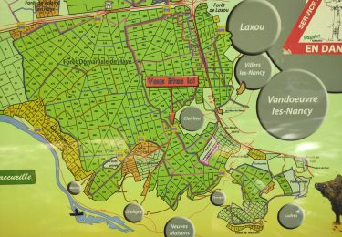
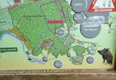
Nancy Maron par la forêt de Haye, puis Neuves-Maisons par le bord de la Moselle, Laneuveville par le bord du canal de contournement, enfin Nancy par la rive du canal de la Marne au Rhin

Elevation profile

Photos

Positioning

Country:
France
Region :
Grand Est
Department/Province :
Meurthe-et-Moselle
Municipality :
Nancy
Location:
Unknown
Start:(UTM)
291629 ; 5397233 (32U) N.


Close
My subscriptions