


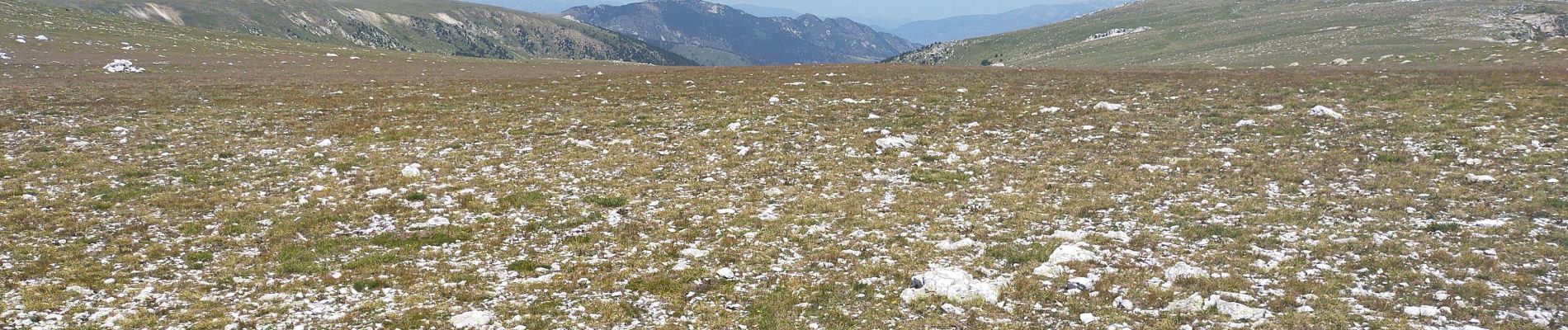
col de mantet

arnaudconde
User
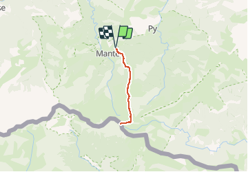

Length
16.5 km

Max alt
2496 m

Uphill gradient
844 m
Km-Effort
28 km

Min alt
1768 m

Downhill gradient
840 m
Boucle
Yes
Creation date :
2020-07-31 07:36:00.946
Updated on :
2020-07-31 14:07:34.017
6h01
Difficulty : Difficult

FREE GPS app for hiking
 SityTrail
IGN / Geographical institutes
SityTrail Plus
The world is yours!
About
Trail Walking of 16.5 km to be discovered at Occitania, Pyrénées-Orientales, Mantet. This trail is proposed by arnaudconde.
Photos


Positioning
Country:
France
Region :
Occitania
Department/Province :
Pyrénées-Orientales
Municipality :
Mantet
Location:
Unknown
Start:(Dec)
Start:(UTM)
443625 ; 4703411 (31T) N.
Comments