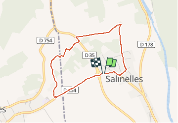


10.7 km | 12.7 km-effort


User


FREE GPS app for hiking
 SityTrail
IGN / Geographical institutes
SityTrail World
The world is yours!
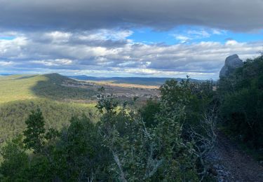
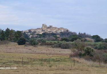
Trail Walking of 3.7 km to be discovered at Occitania, Gard, Salinelles. This trail is proposed by f4tnk.
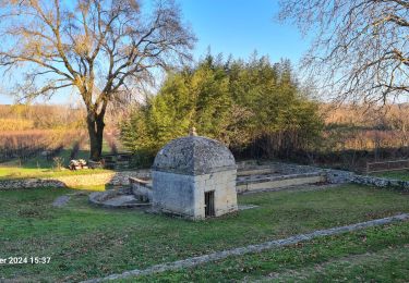
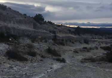
Ballade autours des anciennes mines d'extractions de la Terre de Sommières (Sépiolite) par la CECA.
La zone se situait à proximité du Temple dans les lieux dits « La Coste et le Pigeonnier », « Les Combes », « Le Bois de Carelle », « Sous les Bois », « La Prieule » et « Les Terres Rouges » où la sépiolite était connue de bonne qualité. Elle devient moins bonne et même mauvaise vers le Sud (Montredon).
Plus d'infos sur http://www.sommieresetsonhistoire.org/SSH/spip.php?article84

Walking

Walking

Walking

Walking
Walking
Walking
Walking
Walking