


Courcheveles crete charbet, petit mont blanc

jybe
User


Length
23 km

Max alt
2668 m

Uphill gradient
1479 m
Km-Effort
43 km

Min alt
1539 m

Downhill gradient
1493 m
Boucle
Yes
Creation date :
2020-08-05 07:10:56.0
Updated on :
2020-08-05 16:34:48.543
8h35
Difficulty : Difficult

FREE GPS app for hiking
 SityTrail
IGN / Geographical institutes
SityTrail Plus
The world is yours!
About
Trail Walking of 23 km to be discovered at Auvergne-Rhône-Alpes, Savoy, Courchevel. This trail is proposed by jybe.
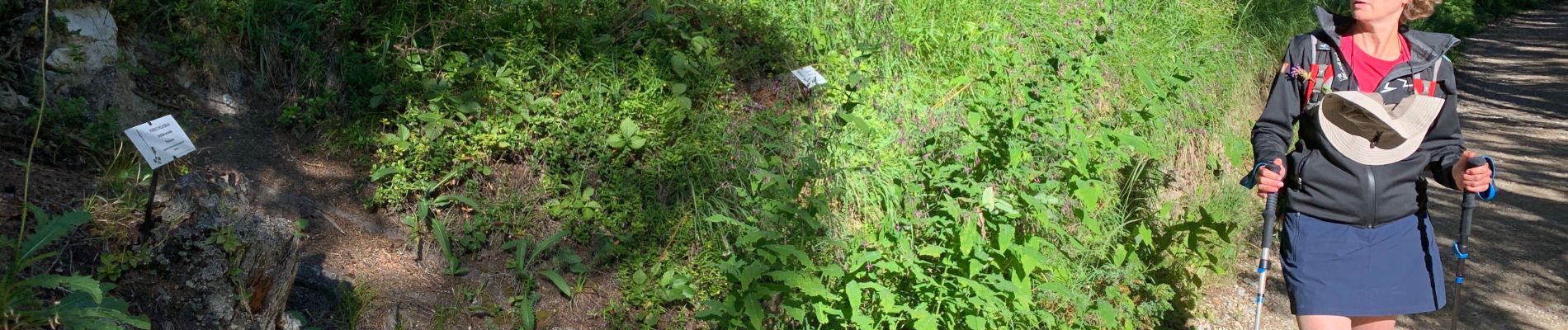
Photos


Positioning
Country:
France
Region :
Auvergne-Rhône-Alpes
Department/Province :
Savoy
Municipality :
Courchevel
Location:
Saint-Bon-Tarentaise
Start:(Dec)
Start:(UTM)
317535 ; 5030890 (32T) N.
Comments