


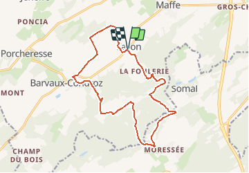


7.4 km | 9.9 km-effort


Destination Condroz-Famenne- une nature préservée PRO


FREE GPS app for hiking
 SityTrail
IGN / Geographical institutes
SityTrail World
The world is yours!
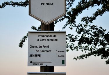
Trail Walking of 15.8 km to be discovered at Wallonia, Namur, Havelange. This trail is proposed by Vallées des Saveurs - Maison du Tourisme Condroz-Famenne.
Les incontournables:
- Le château de Barvaux-Condroz
- Ramezée
- Agribio


Walking

Walking
Walking
Walking

On foot

On foot

On foot
On foot
On foot
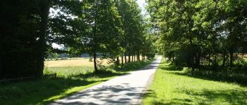
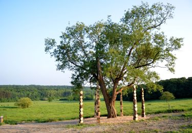
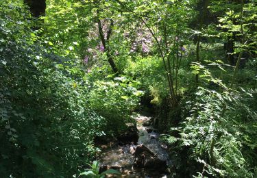
Sans hésiter, le plus beau parcours parmi la dizaine de Sityguides déjà testés!