


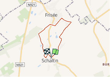


6.8 km | 8.7 km-effort


Destination Condroz-Famenne- une nature préservée PRO


FREE GPS app for hiking
 SityTrail
IGN / Geographical institutes
SityTrail World
The world is yours!
Trail Walking of 4.9 km to be discovered at Wallonia, Namur, Hamois. This trail is proposed by Vallées des Saveurs - Maison du Tourisme Condroz-Famenne.
Les incontournables:
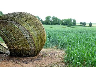
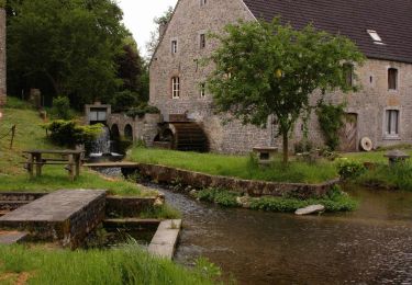
- Le Moulin du Rempache
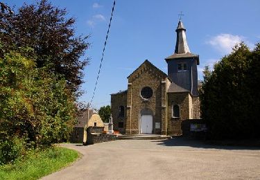
- La Chapelle Notre Dame de Lourdes
- Le Musée Monopoli (Barsy)


Walking
Walking

On foot
Walking

Walking
Walking
Walking
Walking
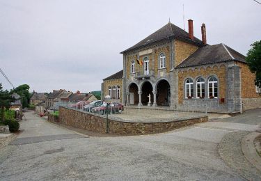
Le tour du village. Assez moche !