


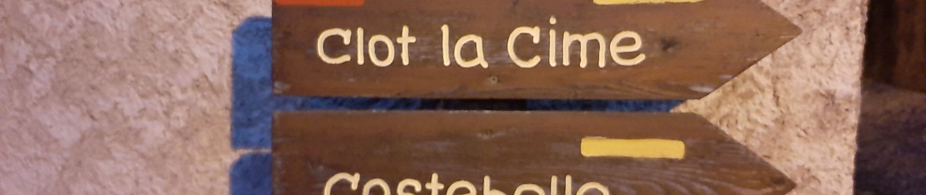
LA BREOLE . Clot la Cime , col de Charamel o l s

RobinMicheline
User GUIDE
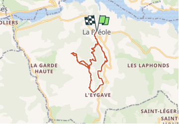

Length
13.1 km

Max alt
1581 m

Uphill gradient
695 m
Km-Effort
22 km

Min alt
924 m

Downhill gradient
696 m
Boucle
Yes
Creation date :
2020-08-12 04:02:17.738
Updated on :
2022-09-20 15:14:27.122
3h52
Difficulty : Medium

FREE GPS app for hiking
 SityTrail
IGN / Geographical institutes
SityTrail Plus
The world is yours!
About
Trail Walking of 13.1 km to be discovered at Provence-Alpes-Côte d'Azur, Alpes-de-Haute-Provence, Ubaye-Serre-Ponçon. This trail is proposed by RobinMicheline.
Description
Agréable, super vue sur lac Serre Poncon
Photos


Positioning
Country:
France
Region :
Provence-Alpes-Côte d'Azur
Department/Province :
Alpes-de-Haute-Provence
Municipality :
Ubaye-Serre-Ponçon
Location:
Unknown
Start:(Dec)
Start:(UTM)
284799 ; 4926111 (32T) N.
Comments