


Lac du Clou

cmike39
User
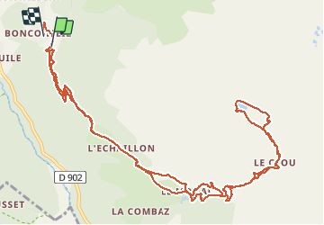

Length
16.2 km

Max alt
2386 m

Uphill gradient
873 m
Km-Effort
28 km

Min alt
1532 m

Downhill gradient
934 m
Boucle
Yes
Creation date :
2020-08-12 07:48:15.909
Updated on :
2020-08-12 14:37:30.413
4h29
Difficulty : Very easy

FREE GPS app for hiking
 SityTrail
IGN / Geographical institutes
SityTrail Plus
The world is yours!
About
Trail Walking of 16.2 km to be discovered at Auvergne-Rhône-Alpes, Savoy, Sainte-Foy-Tarentaise. This trail is proposed by cmike39.
Positioning
Country:
France
Region :
Auvergne-Rhône-Alpes
Department/Province :
Savoy
Municipality :
Sainte-Foy-Tarentaise
Location:
Unknown
Start:(Dec)
Start:(UTM)
335881 ; 5048886 (32T) N.
Comments