


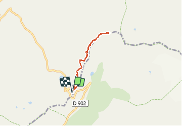

14 km | 27 km-effort


User GUIDE


FREE GPS app for hiking
 SityTrail
IGN / Geographical institutes
SityTrail World
The world is yours!
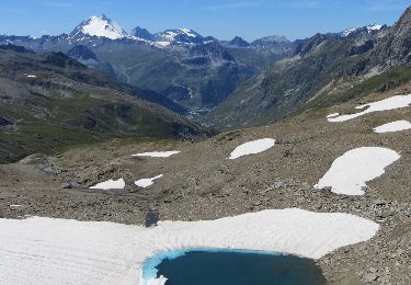
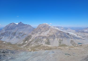
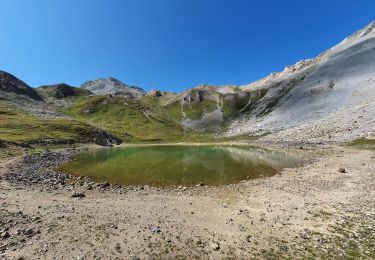
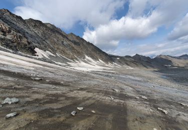
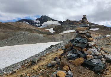
Trail Walking of 5.2 km to be discovered at Auvergne-Rhône-Alpes, Savoy, Bonneval-sur-Arc. This trail is proposed by amiral13.
attention il s'agit d'une randonnée en terrain haute montagne. Ne vous y aventurez pas si vous n'avez pas le pied montagnard.


Walking

Walking
Walking
Walking
Walking

Walking
Walking

Walking
Walking