


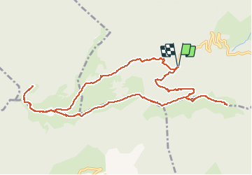

46 km | 67 km-effort

User


FREE GPS app for hiking
 SityTrail
IGN / Geographical institutes
SityTrail World
The world is yours!
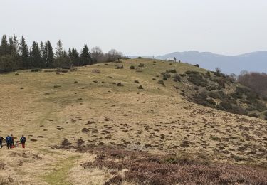
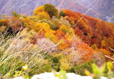
Trail Walking of 13.2 km to be discovered at Occitania, Haute-Garonne, Herran. This trail is proposed by jacq58.
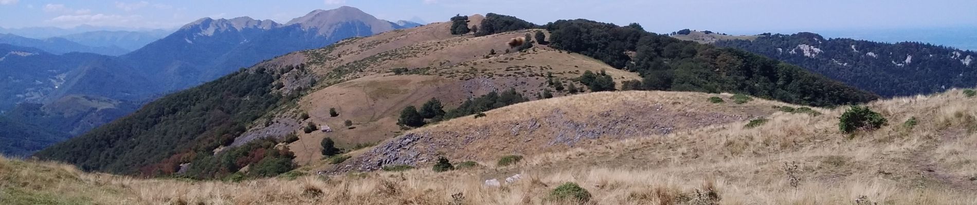
le sentier qui redescend du cornudère vers le parking de la fontaine de l’ourse est par endroit très étroite et incliné sur le côté, d’autres endroits sont très pentus attention par temps humide, sinon boucle très sympathique avec une vue superbe du pic de paloumère et depuis les crètes.


Walking
Walking
Walking
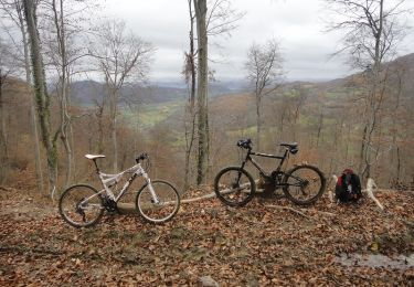
Mountain bike
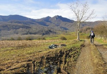
Mountain bike

Mountain bike
Mountain bike

Mountain bike
Mountain bike