


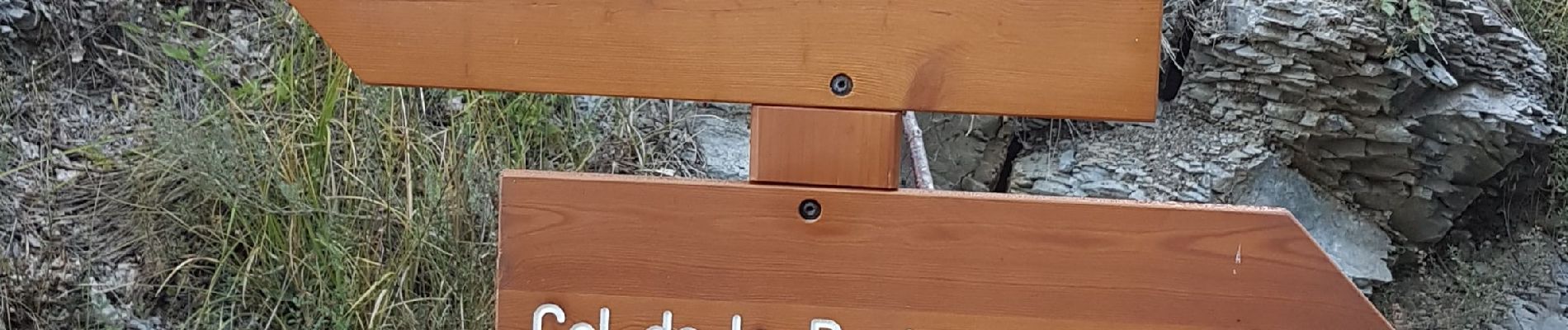
Beasse Peira Cava

Renefrt
User
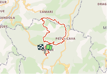

Length
19 km

Max alt
1413 m

Uphill gradient
925 m
Km-Effort
31 km

Min alt
814 m

Downhill gradient
925 m
Boucle
Yes
Creation date :
2020-08-20 06:05:07.213
Updated on :
2020-10-02 11:12:42.116
9h50
Difficulty : Difficult

FREE GPS app for hiking
 SityTrail
IGN / Geographical institutes
SityTrail Plus
The world is yours!
About
Trail Walking of 19 km to be discovered at Provence-Alpes-Côte d'Azur, Maritime Alps, Lucéram. This trail is proposed by Renefrt.
Description
19 km avec application Sytitrail
Photos


Positioning
Country:
France
Region :
Provence-Alpes-Côte d'Azur
Department/Province :
Maritime Alps
Municipality :
Lucéram
Location:
Unknown
Start:(Dec)
Start:(UTM)
366470 ; 4864241 (32T) N.
Comments