


A02

baokan
User


Length
159 km

Max alt
2419 m

Uphill gradient
5794 m
Km-Effort
236 km

Min alt
1094 m

Downhill gradient
5699 m
Boucle
No
Creation date :
2020-08-23 21:45:36.0
Updated on :
2020-08-25 03:20:59.325
4h34
Difficulty : Easy

FREE GPS app for hiking
 SityTrail
IGN / Geographical institutes
SityTrail World
The world is yours!
About
Trail Trail of 159 km to be discovered at Alberta, Calgary. This trail is proposed by baokan.
Description
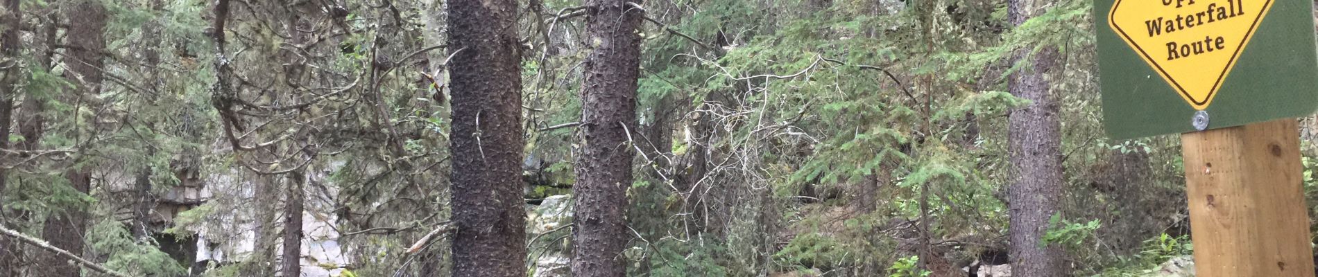
Kananaskis
Photos


Positioning
Country:
Canada
Region :
Alberta
Department/Province :
Calgary
Municipality :
Unknown
Location:
Unknown
Start:(Dec)
Start:(UTM)
694651 ; 5654739 (11U) N.
Comments
Trails nearby