


rdpr glashutte 2020

stempfel52
User GUIDE


Length
11.5 km

Max alt
1348 m

Uphill gradient
556 m
Km-Effort
18.9 km

Min alt
823 m

Downhill gradient
554 m
Boucle
Yes
Creation date :
2020-08-25 06:58:52.545
Updated on :
2021-09-10 15:43:45.331
4h18
Difficulty : Medium

FREE GPS app for hiking
 SityTrail
IGN / Geographical institutes
SityTrail Plus
The world is yours!
About
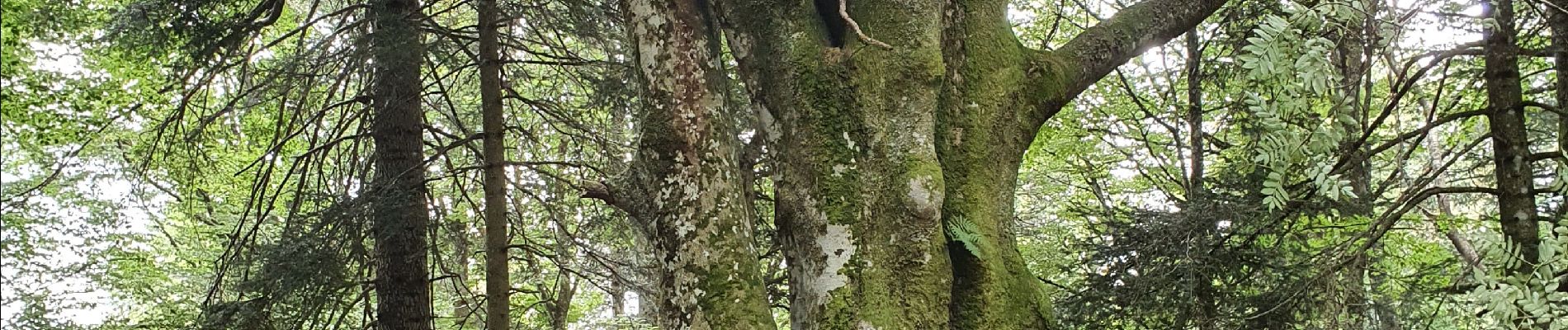
Trail Walking of 11.5 km to be discovered at Grand Est, Haut-Rhin, Soultz-Haut-Rhin. This trail is proposed by stempfel52.
Photos


Positioning
Country:
France
Region :
Grand Est
Department/Province :
Haut-Rhin
Municipality :
Soultz-Haut-Rhin
Location:
Unknown
Start:(Dec)
Start:(UTM)
360249 ; 5306726 (32T) N.
Comments