


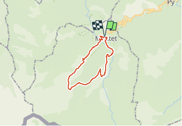

19.4 km | 34 km-effort


User


FREE GPS app for hiking
 SityTrail
IGN / Geographical institutes
SityTrail World
The world is yours!
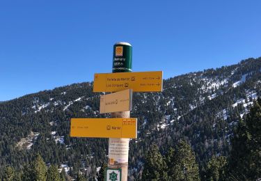
Trail Walking of 12.4 km to be discovered at Occitania, Pyrénées-Orientales, Mantet. This trail is proposed by ThonyM.
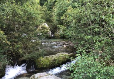
Très belle boucle à la portée de tout bon marcheur


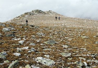
Walking

Snowshoes

Walking
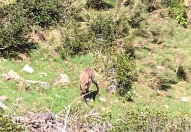
Walking

Walking
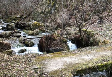
Walking
Walking
Walking

Walking