


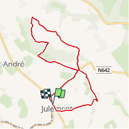


10.9 km | 12.6 km-effort

Randonnées de la Maison du Tourisme du Pays de Herve GUIDE+


FREE GPS app for hiking
 SityTrail
IGN / Geographical institutes
SityTrail World
The world is yours!
Trail Walking of 7.7 km to be discovered at Wallonia, Liège, Herve. This trail is proposed by Maison du Tourisme du pays de Herve.
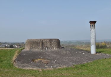
Balade de 7,9 km. Suivre les balises rectangles bleues.

Walking

Walking
Walking
Walking

Walking

Walking

Walking
Walking

Walking
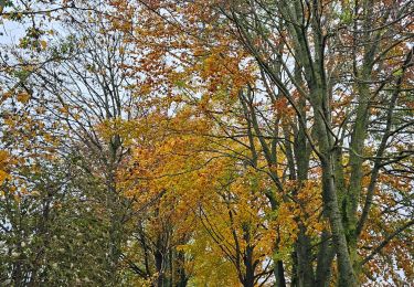
Très belle promenade dans le pays de Hervé offrant une belle diversité de paysages.