


Autour du Lauchenkopf

jmbilger
User
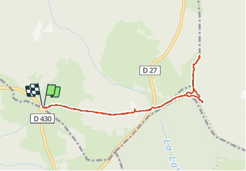

Length
4.2 km

Max alt
1306 m

Uphill gradient
135 m
Km-Effort
6 km

Min alt
1183 m

Downhill gradient
135 m
Boucle
Yes
Creation date :
2020-09-09 14:47:28.0
Updated on :
2020-09-09 16:31:42.5
1h26
Difficulty : Unknown

FREE GPS app for hiking
 SityTrail
IGN / Geographical institutes
SityTrail Plus
The world is yours!
About
Trail Walking of 4.2 km to be discovered at Grand Est, Haut-Rhin, Metzeral. This trail is proposed by jmbilger.
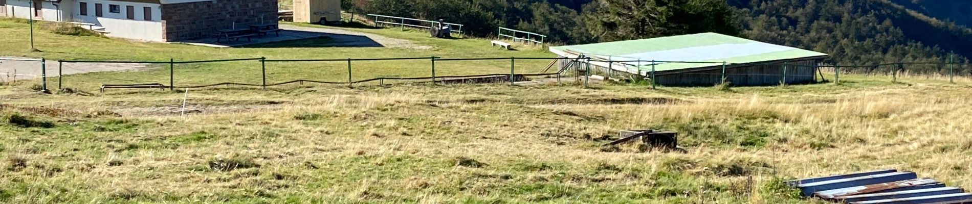
Photos

Positioning
Country:
France
Region :
Grand Est
Department/Province :
Haut-Rhin
Municipality :
Metzeral
Location:
Unknown
Start:(Dec)
Start:(UTM)
352155 ; 5312864 (32T) N.
Comments