


Col de Chaz Sèche

michelek
User
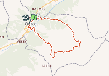

Length
16.1 km

Max alt
2591 m

Uphill gradient
1443 m
Km-Effort
35 km

Min alt
1260 m

Downhill gradient
1450 m
Boucle
Yes
Creation date :
2018-11-10 10:09:34.978
Updated on :
2018-11-10 10:09:35.031
5h40
Difficulty : Difficult

FREE GPS app for hiking
 SityTrail
IGN / Geographical institutes
SityTrail Plus
The world is yours!
About
Trail Walking of 16.1 km to be discovered at Aosta Valley, Unknown, Oyace. This trail is proposed by michelek.
Description
Valpelline 2005
Positioning
Country:
Italy
Region :
Aosta Valley
Department/Province :
Unknown
Municipality :
Oyace
Location:
Unknown
Start:(Dec)
Start:(UTM)
374387 ; 5078694 (32T) N.
Comments