


pistou et jas neuf

dcharbonnier
User


Length
21 km

Max alt
1673 m

Uphill gradient
952 m
Km-Effort
34 km

Min alt
1004 m

Downhill gradient
950 m
Boucle
Yes
Creation date :
2020-09-13 07:44:56.839
Updated on :
2020-09-14 19:35:57.977
6h17
Difficulty : Medium

FREE GPS app for hiking
 SityTrail
IGN / Geographical institutes
SityTrail Plus
The world is yours!
About
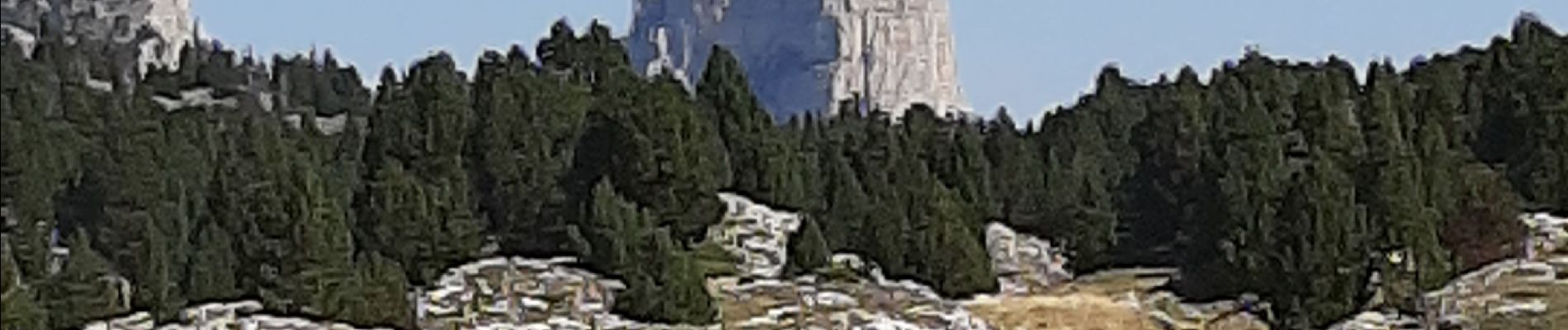
Trail Walking of 21 km to be discovered at Auvergne-Rhône-Alpes, Drôme, Romeyer. This trail is proposed by dcharbonnier.
Description
départ depuis Fournière parking monter au col du Pisou puis à gauche suivre les kerns jusqu'à la bergerie du Jas Neuf. retour par la GTV jusqu'au pré Perey.
Photos

Positioning
Country:
France
Region :
Auvergne-Rhône-Alpes
Department/Province :
Drôme
Municipality :
Romeyer
Location:
Unknown
Start:(Dec)
Start:(UTM)
693469 ; 4964393 (31T) N.
Comments