


13.7 km | 21 km-effort

User


FREE GPS app for hiking
 SityTrail
IGN / Geographical institutes
SityTrail World
The world is yours!
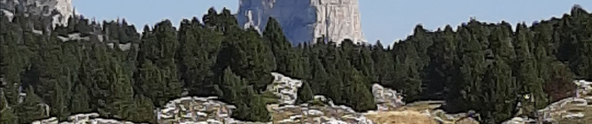
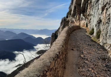
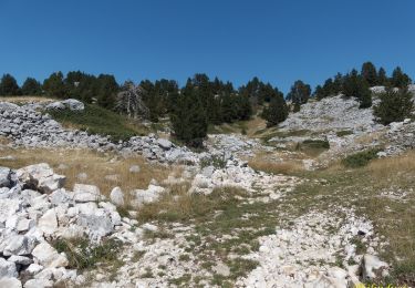
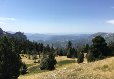
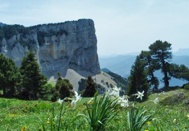
Trail Walking of 21 km to be discovered at Auvergne-Rhône-Alpes, Drôme, Romeyer. This trail is proposed by dcharbonnier.
départ depuis Fournière parking monter au col du Pisou puis à gauche suivre les kerns jusqu'à la bergerie du Jas Neuf. retour par la GTV jusqu'au pré Perey.

Walking

Walking
Walking
Walking
Walking

Snowshoes
Walking
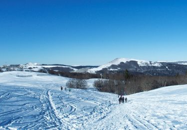
Snowshoes
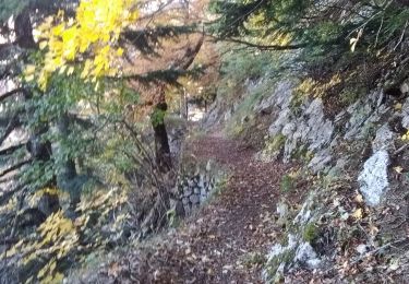
Walking