


beauvezer_villars j4: route du lac d'allos

bernir
User
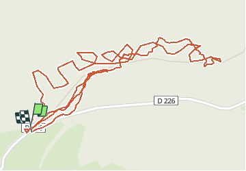

Length
2.5 km

Max alt
1828 m

Uphill gradient
76 m
Km-Effort
3.5 km

Min alt
1766 m

Downhill gradient
68 m
Boucle
Yes
Creation date :
2020-09-17 13:04:50.31
Updated on :
2020-10-09 12:23:56.606
11h36
Difficulty : Very easy

FREE GPS app for hiking
 SityTrail
IGN / Geographical institutes
SityTrail Plus
The world is yours!
About
Trail Walking of 2.5 km to be discovered at Provence-Alpes-Côte d'Azur, Alpes-de-Haute-Provence, Allos. This trail is proposed by bernir.
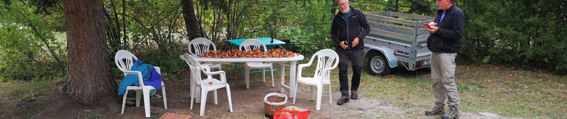
Photos


Positioning
Country:
France
Region :
Provence-Alpes-Côte d'Azur
Department/Province :
Alpes-de-Haute-Provence
Municipality :
Allos
Location:
Unknown
Start:(Dec)
Start:(UTM)
312504 ; 4901984 (32T) N.
Comments