


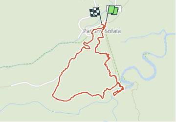


12 km | 21 km-effort

User GUIDE


FREE GPS app for hiking
 SityTrail
IGN / Geographical institutes
SityTrail World
The world is yours!
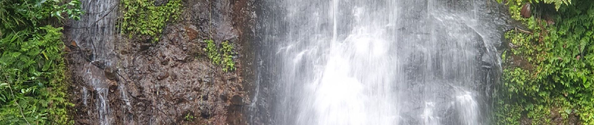
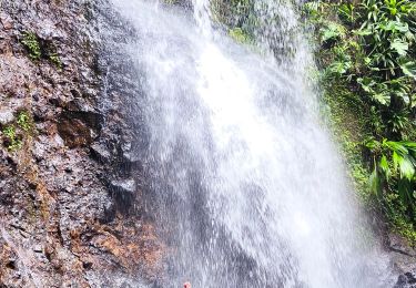
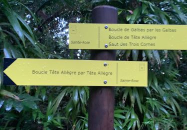
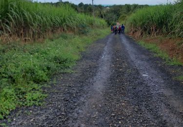
Trail Walking of 3.3 km to be discovered at Guadeloupe, Unknown, Sainte-Rose. This trail is proposed by toutankhcarton.
Rando facile au départ de Sofaïa depuis la ville de Ste Rose.
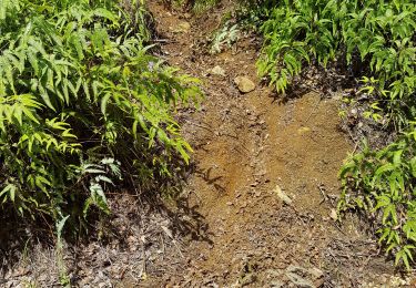
Attention terrain glissant par temps humide. Traversée de la rivière à éviter si pluie.
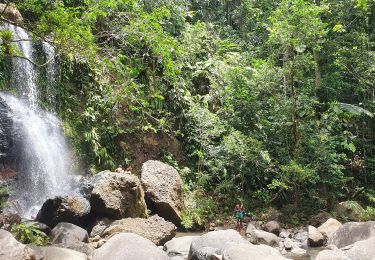
Douches souffrées à l'arrivée


Walking
Walking
Walking
Trail
Walking
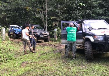
4x4
Walking

Walking