


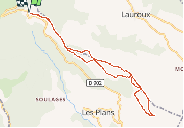


8.9 km | 12 km-effort

User


FREE GPS app for hiking
 SityTrail
IGN / Geographical institutes
SityTrail World
The world is yours!
Trail Nordic walking of 10.4 km to be discovered at Occitania, Hérault, Les Plans. This trail is proposed by mdauzat.
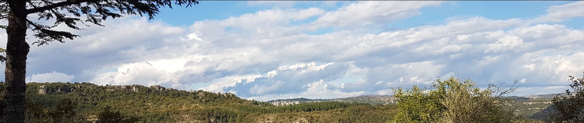
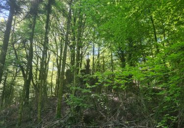
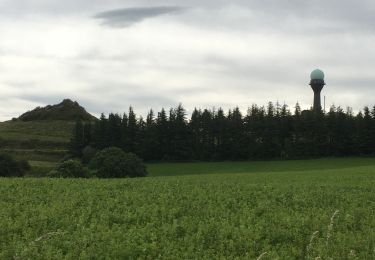
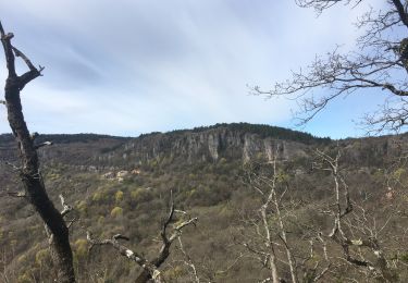
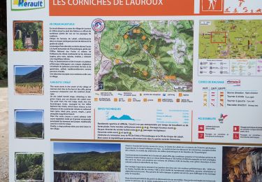
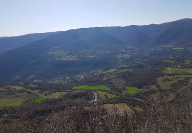
A partir du Col du Perthus (lieu-dit Le Rouquet), cette belle piste forestière montre tranquillement vers le plateau du Grézac et permet d'en faire le tour, avec de très beaux points de vue sur la vallée de Lauroux, puis un cheminement dans la magnifique forêt qui n'a pas encore pris ses couleurs d'automne. En passant, au retour, sur le versant Sud-Ouest, on peut s'arrêter par endroits pour admirer, dans le lointain, le Lac du Salagou avant de revenir vers le col. Une très belle sortie, sans difficulté particulière en dehors de deux courts segments "pentus" à descendre.


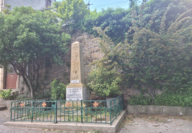
23 photos in total. Please click on a photo to see them all in the gallery.
Nordic walking
Nordic walking
Walking

Walking

Walking

Walking
Walking
Walking
Nordic walking