


JD 15/20 Pedibus Biederthal

argonneuweg
User


2h33
Difficulty : Unknown

FREE GPS app for hiking
 SityTrail
IGN / Geographical institutes
SityTrail Plus
The world is yours!
About
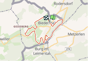
Trail Walking of 8.2 km to be discovered at Grand Est, Haut-Rhin, Biederthal. This trail is proposed by argonneuweg.
Description
Un début de parcours dans la jolie campagne de Biederthal, puis montée vers la crête qui sépare la France et la Suisse.
Les 4 premiers km sont très faciles et la dernière partie est plus difficile : il est alors possible de l'éviter en rentrant directement au village par la D23.
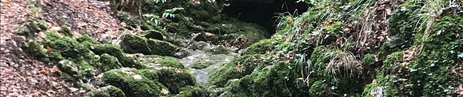
Photos


Positioning
Comments