Trail Walking Donzy-le-Pertuis - Donzy le Perthuis la fontaine des croix page 66 - Photo

Donzy le Perthuis la fontaine des croix page 66

© OpenStreetMap contributors
Length
Length
17.1 km
Max alt
Max alt
553 m
Uphill gradient
Uphill gradient
505 m
Km-Effort
Km-Effort  
24 km
Min alt
Min alt
291 m
Downhill gradient
Downhill gradient
505 m
Boucle
Boucle
Yes
Creation date :
2020-09-24 07:38:01.992
Updated on :
2021-08-05 15:49:19.062

(0 Reviews)

Walking
Walking
5h07
Difficulty : Difficult

Scan this QR Code to open this trail in the SityTrail application

FREE GPS app for hiking

Logo SityTrail SityTrail

IGN / Geographical institutes

Download SityTrail from the App Store Download SityTrail from Google Play

Logo SityTrail SityTrail World

The world is yours!

Download SityTrail from the App Store Download SityTrail from Google Play Download SityTrail on Huawei AppGallery

About

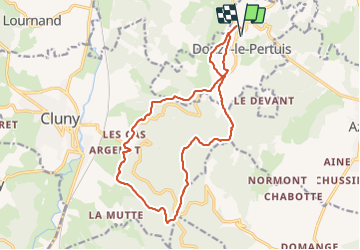
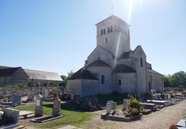
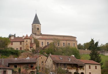
Trail Walking of 17.1 km to be discovered at Bourgogne-Franche-Comté, Saône-et-Loire, Donzy-le-Pertuis. This trail is proposed by grasgilbert.

Description

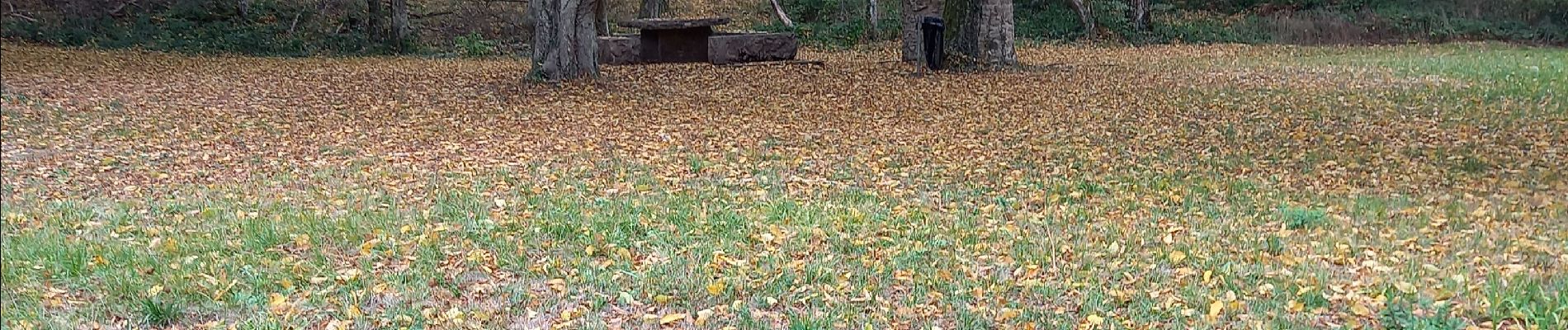
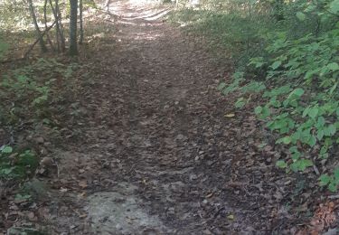
Très ombragée peut-être faite été

Elevation profile

Photos

Positioning

Country:
France
Region :
Bourgogne-Franche-Comté
Department/Province :
Saône-et-Loire
Municipality :
Donzy-le-Pertuis
Location:
Unknown
Start:(UTM)
632088 ; 5145879 (31T) N.

Comments

Please log in to post a review or rate the element


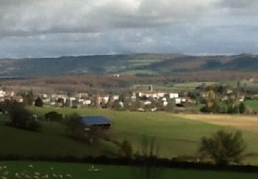
Randonnee sympa effectee dans le sens anti horaire. Quelques portions goudrons un peu gênante cependant. La plupart de temps en forêt, donc peu de vue mais de l ombre. Ce 1 décembre brumeux l ombre était un partout. merci a son auteur


Trails nearby

Trail Walking Cluny - La marche des Moines, Cluny 2012 - Photo
Walking
robertdurand

Walking

Very easy
(1)
Cluny, Bourgogne-Franche-Comté, Saône-et-Loire, France
11.8 km | 16.1 km-effort
3h 14min
Yes
Trail Walking Saint-Gengoux-de-Scissé - Saint Gengoux de scisse le Mont St Romain page 146 - Photo
Walking
grasgilbert

Walking

Difficult
(1)
Saint-Gengoux-de-Scissé, Bourgogne-Franche-Comté, Saône-et-Loire, France
18.2 km | 26 km-effort
5h 38min
Yes
Trail On foot Cluny - Cluny Berzé le Chatel Tunnel du bois clair page 160 - Photo
On foot
grasgilbert

On foot

Medium
(1)
Cluny, Bourgogne-Franche-Comté, Saône-et-Loire, France
18.5 km | 26 km-effort
4h 41min
Yes
Trail Nordic walking Lournand - Lournand_MN_G1_validé_29_03_2023 - Photo
Nordic walking
Patdevelours

Nordic walking

Difficult
(1)
Lournand, Bourgogne-Franche-Comté, Saône-et-Loire, France
12.9 km | 18 km-effort
Unknown
Yes
Trail Nordic walking Lournand - Lournand_MN_G2_G3_validé_29_03_2023 - Photo
Nordic walking
Patdevelours

Nordic walking

Difficult
(4)
Lournand, Bourgogne-Franche-Comté, Saône-et-Loire, France
10.6 km | 14.9 km-effort
Unknown
Yes
Trail Walking Cluny - Cluny Rando des moines - Photo
Walking
pensionisten71

Walking

Difficult
Cluny, Bourgogne-Franche-Comté, Saône-et-Loire, France
21 km | 28 km-effort
4h 13min
Yes
Trail Electric bike Cluny - Boucle Cluny - Malay - Photo
Electric bike
EricVIBERT

Electric bike

Easy
Cluny, Bourgogne-Franche-Comté, Saône-et-Loire, France
49 km | 57 km-effort
5h 36min
No
Trail Electric bike Cluny - Boucle Cluny -Milly Lamartine - Photo
Electric bike
EricVIBERT

Electric bike

Medium
Cluny, Bourgogne-Franche-Comté, Saône-et-Loire, France
37 km | 47 km-effort
4h 41min
No
Trail On foot Cluny - randonnée autour de Cluny - Photo
On foot
PRO

On foot

Easy
Cluny, Bourgogne-Franche-Comté, Saône-et-Loire, France
5.1 km | 7.3 km-effort
1h 38min
No


Close
My subscriptions