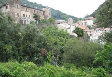
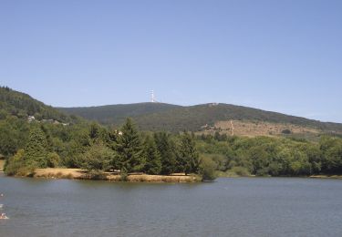
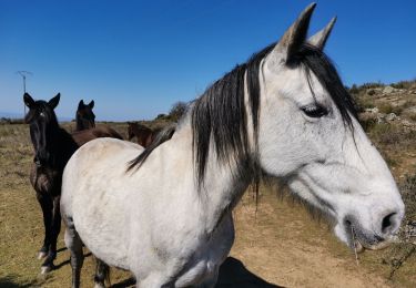
Trail On foot Roquefère - Labastide-Espabïrenque, Prat Viel, Picarot haut - Photo

Labastide-Espabïrenque, Prat Viel, Picarot haut

 mikaou.t
mikaou.t

User

© OpenStreetMap contributors
Length
Length
10.2 km
Max alt
Max alt
797 m
Uphill gradient
Uphill gradient
403 m
Km-Effort
Km-Effort  
15.6 km
Min alt
Min alt
440 m
Downhill gradient
Downhill gradient
406 m
Boucle
Boucle
Yes
Creation date :
2020-09-29 13:06:25.288
Updated on :
2022-05-23 15:00:53.153

(1 Reviews)

On foot
On foot
3h00
Difficulty : Medium

Scan this QR Code to open this trail in the SityTrail application

FREE GPS app for hiking

Logo SityTrail SityTrail

IGN / Geographical institutes

Download SityTrail from the App Store Download SityTrail from Google Play

Logo SityTrail SityTrail World

The world is yours!

Download SityTrail from the App Store Download SityTrail from Google Play Download SityTrail on Huawei AppGallery

About

Trail On foot of 10.2 km to be discovered at Occitania, Aude, Roquefère. This trail is proposed by mikaou.t.

Description

Après l'entrée dans le village, prendre à droite une voie marquée sans issue. Elle devient un peu plus loin  sentier qui descend pour remonter ensuite (suivre le balisage). Poursuivre le sentier qui rejoint la route Labastide -Pradelles peu avant Prat viel. Suivre la route jusqu'au carrefour et prendre le premier chemin forestier à droite (indiqué"parc éolien"), monter au col de Montredon, point haut de la randonnée.
Prendre en face une piste qui descend rapidement pour rejoindre une large piste forestière qu'il suffit de suivre à droite jusqu'à Labastide, sauf que sur la fin il vaut mieux prendre à gauche le sentier qui passe à coté du cimetiére et de l'église St André.

Elevation profile

Positioning

Country:
France
Region :
Occitania
Department/Province :
Aude
Municipality :
Roquefère
Location:
Unknown
Start:(UTM)
450858 ; 4803208 (31T) N.

Comments

Please log in to post a review or rate the element


Trails nearby

Trail Walking Roquefère - La cascade de Cubserviès - Roquefère - Photo
Walking
tracegps

Walking

Difficult
(3)
Roquefère, Occitania, Aude, France
16.1 km | 25 km-effort
8h 16min
Yes
Trail Walking La Tourette-Cabardès - Rndonnée autour de la Tourette Cabardès - Photo
Walking
tracegps

Walking

Medium
(1)
La Tourette-Cabardès, Occitania, Aude, France
12 km | 17.2 km-effort
3h 19min
Yes
Trail Walking Miraval-Cabardès - Miraval - Lacoste - Roc du Bougre - Photo
Walking
mikaou.t

Walking

Difficult
(1)
Miraval-Cabardès, Occitania, Aude, France
11.4 km | 18.1 km-effort
3h 45min
Yes
Trail On foot Pradelles-Cabardès - Les Villages Perchés - Photo
On foot
PRO

On foot

Medium
Pradelles-Cabardès, Occitania, Aude, France
19.4 km | 29 km-effort
6h 34min
No
Trail On foot Labastide-Esparbairenque - Les Villages Perchés - Photo
On foot
PRO

On foot

Difficult
Labastide-Esparbairenque, Occitania, Aude, France
24 km | 38 km-effort
8h 32min
Yes
Trail On foot Pradelles-Cabardès - Les Villages Perchés - Photo
On foot
PRO

On foot

Medium
Pradelles-Cabardès, Occitania, Aude, France
19.2 km | 26 km-effort
5h 53min
No
Trail Walking Les Ilhes - Les Ilhes - Photo
Walking
GUIDE
Ada11

Walking

Easy
Les Ilhes, Occitania, Aude, France
17.3 km | 26 km-effort
4h 56min
Yes
Trail On foot Pradelles-Cabardès - Pradelles Cabardes . Le Pic de Nore, le sentier du Roc Nouret. - Photo
On foot
caccini

On foot

Easy
(1)
Pradelles-Cabardès, Occitania, Aude, France
10.4 km | 16.4 km-effort
3h 44min
Yes
Trail Walking Les Ilhes - les Trois Vallées - Photo
Walking
Pierre11

Walking

Medium
(2)
Les Ilhes, Occitania, Aude, France
13.8 km | 22 km-effort
4h 41min
Yes


Close
My subscriptions