


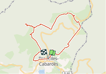

6.4 km | 10 km-effort


User


FREE GPS app for hiking
 SityTrail
IGN / Geographical institutes
SityTrail World
The world is yours!
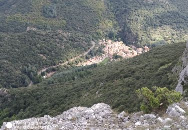
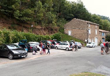
Trail On foot of 10.4 km to be discovered at Occitania, Aude, Pradelles-Cabardès. This trail is proposed by caccini.
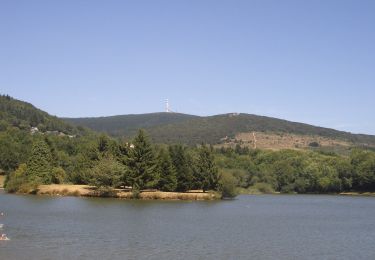
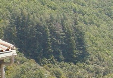
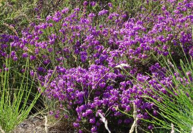
Randonnée de moyenne montagne, à travers bois de résineux , bois de hêtres, passant par le roc Nouret et le Pic de Nore. La vue y est splendide surtout par grand beau temps, 1211 m d'altitude .Cette randonnée magnifique peut se faire également l'hiver en raquettes un pur bonheur.

Walking
On foot
On foot
On foot

On foot
On foot
On foot
Walking

Walking
Super 👍🏻