


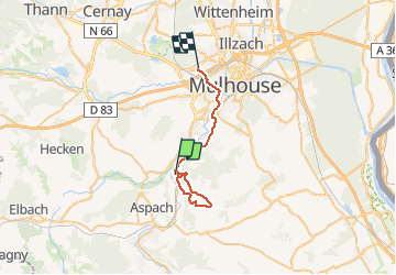

69 km | 75 km-effort

User


FREE GPS app for hiking
 SityTrail
IGN / Geographical institutes
SityTrail World
The world is yours!
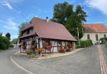
Trail Walking of 28 km to be discovered at Grand Est, Haut-Rhin, Illfurth. This trail is proposed by selevrich.
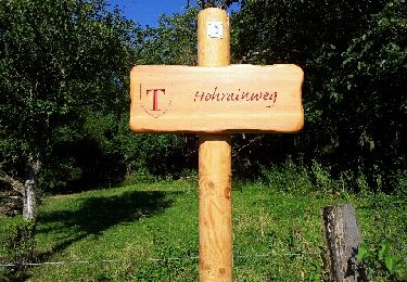
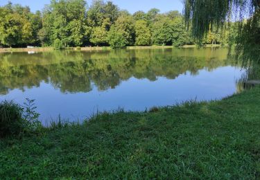
Randonnée bien balisée. À la découverte de beaux villages du Sundgau.


Electric bike

Walking
Walking

Mountain bike
Walking
Walking
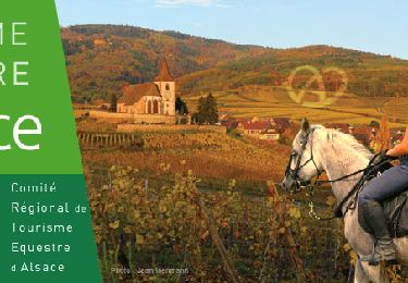
Horseback riding