


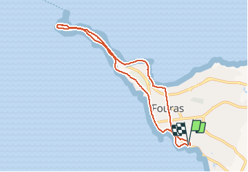
La pointe de la Fumée

richardsimopons
User

Length
8.3 km

Max alt
15 m

Uphill gradient
45 m
Km-Effort
8.9 km

Min alt
0 m

Downhill gradient
48 m
Boucle
Yes
Creation date :
2020-10-16 08:57:36.0
Updated on :
2020-10-16 11:08:12.161
1h49
Difficulty : Unknown

FREE GPS app for hiking
 SityTrail
IGN / Geographical institutes
SityTrail Plus
The world is yours!
About
Trail Walking of 8.3 km to be discovered at New Aquitaine, Charente-Maritime, Fouras. This trail is proposed by richardsimopons.
Description
La palmeraie, la pointe de la Fumée par la plage Nord , retour La Palmeraie.
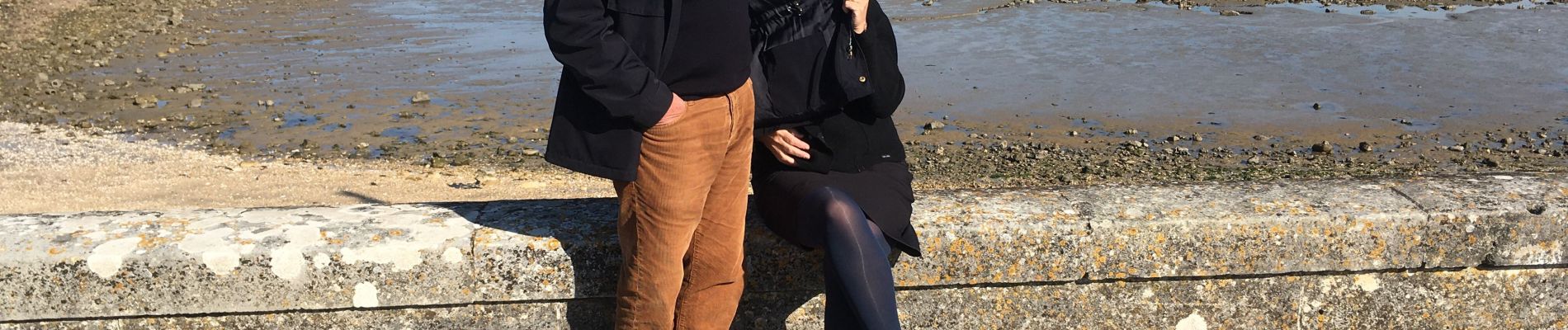
Photos


Positioning
Country:
France
Region :
New Aquitaine
Department/Province :
Charente-Maritime
Municipality :
Fouras
Location:
Unknown
Start:(Dec)
Start:(UTM)
648082 ; 5093880 (30T) N.
Comments