


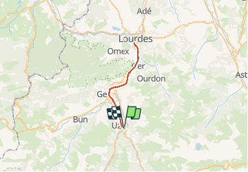

11.8 km | 20 km-effort


User


FREE GPS app for hiking
 SityTrail
IGN / Geographical institutes
SityTrail World
The world is yours!
Trail Road bike of 35 km to be discovered at Occitania, Hautespyrenees, Pierrefitte-Nestalas. This trail is proposed by pffrench.


Walking

Electric bike
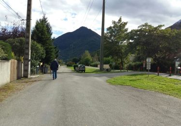
Walking
Walking
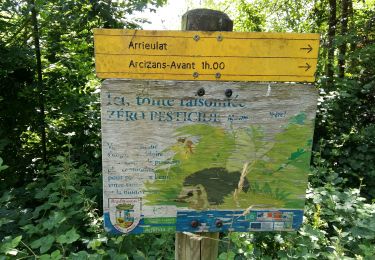
Walking

On foot

On foot

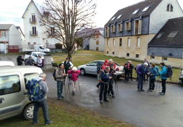
Walking

Walking