


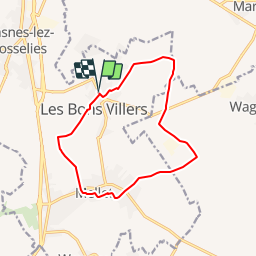

10.2 km | 12.6 km-effort


User


FREE GPS app for hiking
 SityTrail
IGN / Geographical institutes
SityTrail World
The world is yours!
Trail Walking of 11.6 km to be discovered at Wallonia, Hainaut, Les Bons Villers. This trail is proposed by mverhaeghe.

Walking
Walking
Walking
Walking
Walking

On foot
Walking
Walking
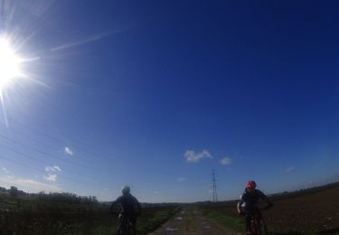
Mountain bike
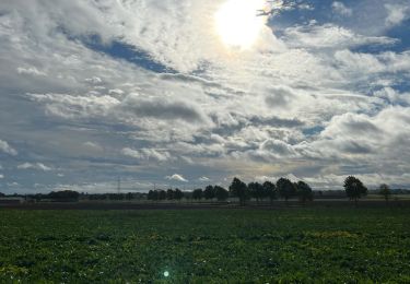
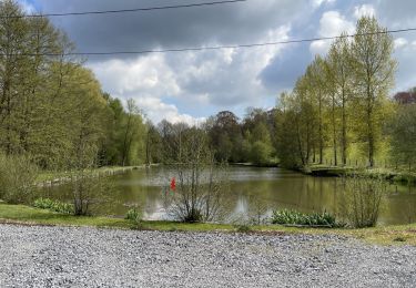
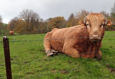
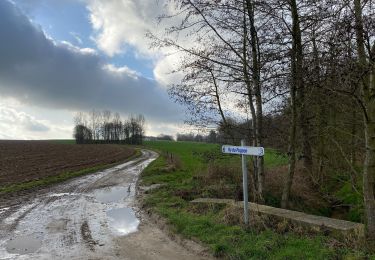
beaucoup de petites routes mais très calmes, superbe campagne mais qqls passages très boueux 😅. super par cette belle journée ensoleillée !