2020-10-17 Rando CVA Aubure Climont

holtzv
User GUIDE
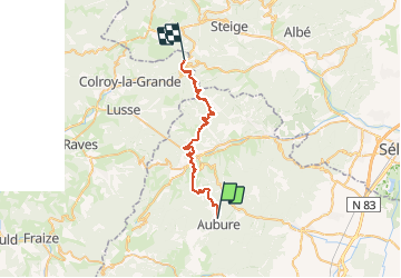

Length
29 km

Max alt
924 m

Uphill gradient
1149 m
Km-Effort
45 km

Min alt
360 m

Downhill gradient
1284 m
Boucle
No
Creation date :
2020-10-17 07:25:39.335
Updated on :
2020-10-19 13:59:14.072
5h22
Difficulty : Very easy

FREE GPS app for hiking
 SityTrail
IGN / Geographical institutes
SityTrail Plus
The world is yours!
About
Trail Horseback riding of 29 km to be discovered at Grand Est, Haut-Rhin, Aubure. This trail is proposed by holtzv.
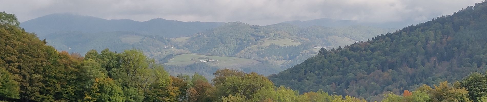
Photos

Positioning
Country:
France
Region :
Grand Est
Department/Province :
Haut-Rhin
Municipality :
Aubure
Location:
Unknown
Start:(Dec)
Start:(UTM)
367886 ; 5340348 (32U) N.
Comments