


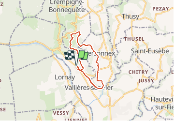

8.4 km | 15.1 km-effort


User


FREE GPS app for hiking
 SityTrail
IGN / Geographical institutes
SityTrail World
The world is yours!
Trail Walking of 10.9 km to be discovered at Auvergne-Rhône-Alpes, Upper Savoy, Vallières-sur-Fier. This trail is proposed by Clodot.
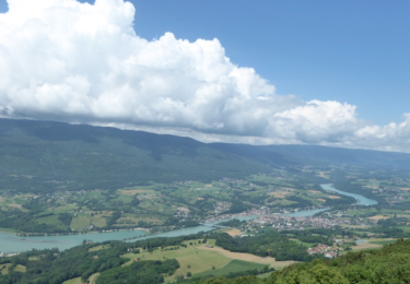
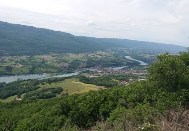
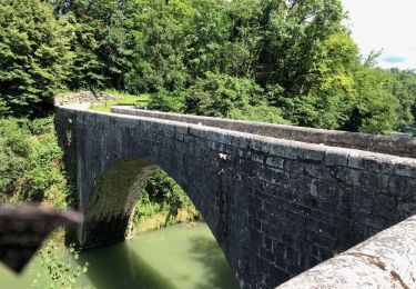
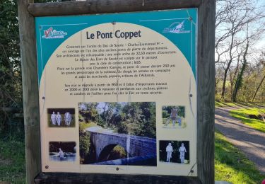
Beau circuit. Arrêt à la grotte de Lourdes
Walking
Walking
Walking
Walking

Mountain bike

Walking

Walking

Nordic walking
Walking