


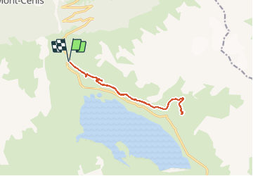
fort de Ronce par sentier 2000

laurentnecca
User

Length
13.7 km

Max alt
2301 m

Uphill gradient
453 m
Km-Effort
19.7 km

Min alt
2066 m

Downhill gradient
453 m
Boucle
Yes
Creation date :
2020-10-19 09:22:42.664
Updated on :
2020-10-19 13:48:20.697
3h52
Difficulty : Easy

FREE GPS app for hiking
 SityTrail
IGN / Geographical institutes
SityTrail Plus
The world is yours!
About
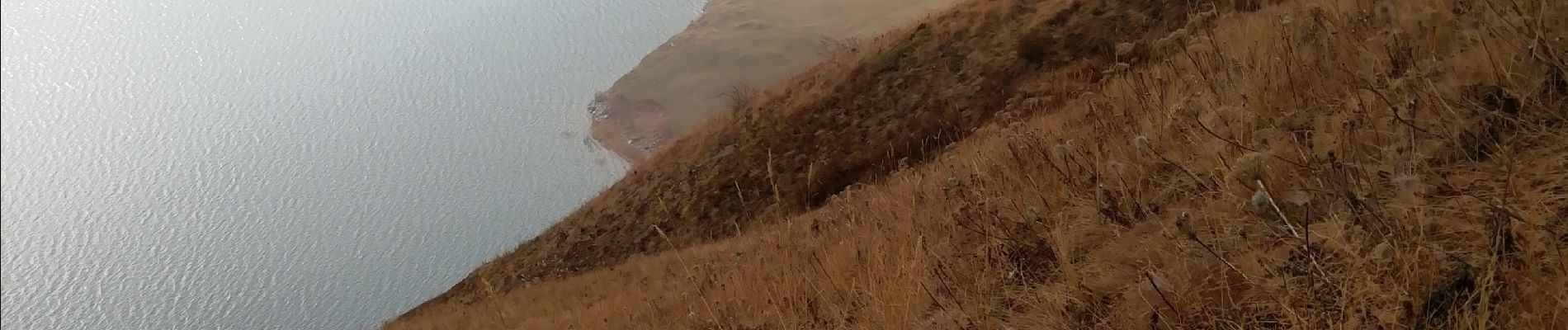
Trail Walking of 13.7 km to be discovered at Auvergne-Rhône-Alpes, Savoy, Val-Cenis. This trail is proposed by laurentnecca.
Photos


Positioning
Country:
France
Region :
Auvergne-Rhône-Alpes
Department/Province :
Savoy
Municipality :
Val-Cenis
Location:
Unknown
Start:(Dec)
Start:(UTM)
335337 ; 5014207 (32T) N.
Comments