


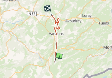

16.1 km | 25 km-effort


User


FREE GPS app for hiking
 SityTrail
IGN / Geographical institutes
SityTrail World
The world is yours!
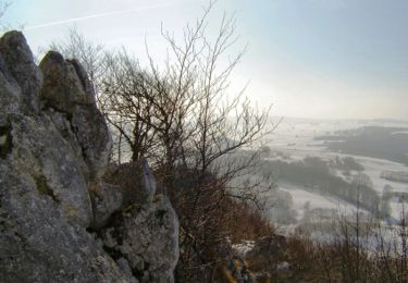
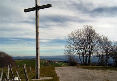
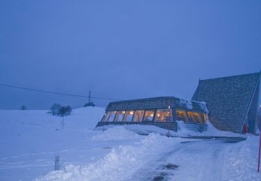
Trail Quad of 29 km to be discovered at Bourgogne-Franche-Comté, Doubs, Saint-Gorgon-Main. This trail is proposed by stlvain.
itineraire christophe rando

Walking
Walking

Walking
Walking
Walking

Snowshoes
Walking
Walking
Snowshoes