Trail On foot Barbirey-sur-Ouche - barbirey - Photo
 mpstoop
mpstoop

User

© OpenStreetMap contributors
Length
Length
15.5 km
Max alt
Max alt
586 m
Uphill gradient
Uphill gradient
593 m
Km-Effort
Km-Effort  
23 km
Min alt
Min alt
313 m
Downhill gradient
Downhill gradient
601 m
Boucle
Boucle
Yes
Creation date :
2020-10-23 07:46:24.01
Updated on :
2020-10-23 07:58:03.402

(0 Reviews)

On foot
On foot
2m
Difficulty : Medium
Walking
Walking
4h52
Difficulty : Very difficult

Scan this QR Code to open this trail in the SityTrail application

FREE GPS app for hiking

Logo SityTrail SityTrail

IGN / Geographical institutes

Download SityTrail from the App Store Download SityTrail from Google Play

Logo SityTrail SityTrail World

The world is yours!

Download SityTrail from the App Store Download SityTrail from Google Play Download SityTrail on Huawei AppGallery

About

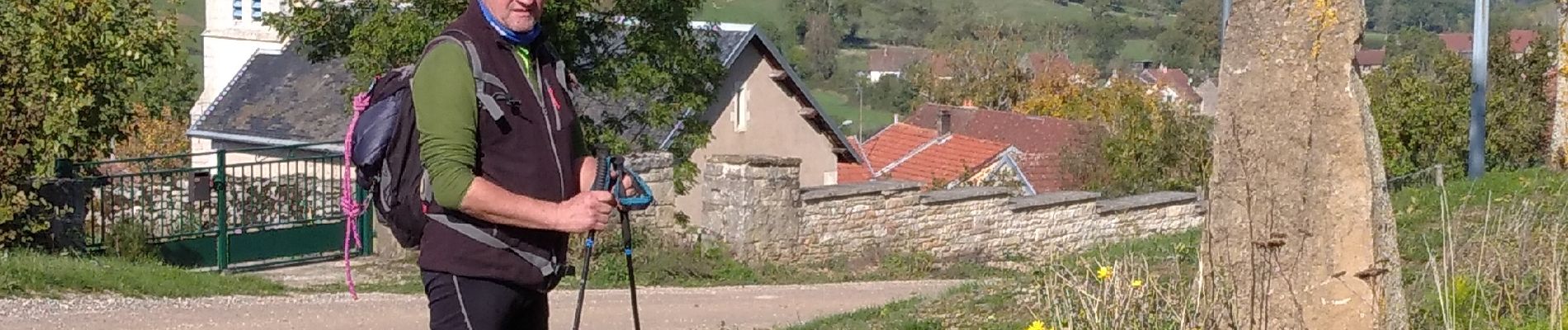
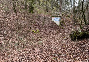
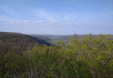
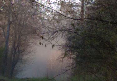
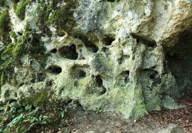
Trail On foot of 15.5 km to be discovered at Bourgogne-Franche-Comté, Côte-d'Or, Barbirey-sur-Ouche. This trail is proposed by mpstoop.

Description

depart chateau, trou qui fume, La Montagne/, le Chatelet hors sentier/grenand les sombernon, foret de Veluze par grande cabane  de chasse, retour

Elevation profile

Photos

Positioning

Country:
France
Region :
Bourgogne-Franche-Comté
Department/Province :
Côte-d'Or
Municipality :
Barbirey-sur-Ouche
Location:
Unknown
Start:(UTM)
632772 ; 5234783 (31T) N.

Trails nearby

Trail Walking Sainte-Marie-sur-Ouche - Pont de Pany - Photo
Walking
hueco

Walking

Easy
(1)
Sainte-Marie-sur-Ouche, Bourgogne-Franche-Comté, Côte-d'Or, France
11.4 km | 16 km-effort
3h 19min
Yes
Trail Walking Barbirey-sur-Ouche - Le Tour de Barbiriacum - Barbirey sur Ouche - Photo
Walking
tracegps

Walking

Medium
(1)
Barbirey-sur-Ouche, Bourgogne-Franche-Comté, Côte-d'Or, France
10.5 km | 15.9 km-effort
2h 45min
Yes
Trail Walking Sainte-Marie-sur-Ouche - Belvédères sur la vallée de l'Ouche - Pont de Pany - Photo
Walking
tracegps

Walking

Difficult
(1)
Sainte-Marie-sur-Ouche, Bourgogne-Franche-Comté, Côte-d'Or, France
20 km | 28 km-effort
6h 0min
Yes
Trail Walking La Bussière-sur-Ouche - La Bête de l'Auxois - La Bussière sur Ouche - Photo
Walking
tracegps

Walking

Difficult
(1)
La Bussière-sur-Ouche, Bourgogne-Franche-Comté, Côte-d'Or, France
25 km | 33 km-effort
6h 0min
Yes
Trail Walking Grenant-lès-Sombernon - Grenant les sombernon  - Photo
Walking
eric.guyard21

Walking

Grenant-lès-Sombernon, Bourgogne-Franche-Comté, Côte-d'Or, France
14 km | 21 km-effort
3h 35min
Yes
Trail Walking La Bussière-sur-Ouche - Pierre du druide , grotte de tebsima - Photo
Walking
eric.guyard21

Walking

Medium
La Bussière-sur-Ouche, Bourgogne-Franche-Comté, Côte-d'Or, France
15.9 km | 23 km-effort
3h 32min
Yes
Trail Walking Saint-Jean-de-Bœuf - Saint JeandeBoeuf-Gissey sur Ouche - Photo
Walking
mpstoop

Walking

Medium
Saint-Jean-de-Bœuf, Bourgogne-Franche-Comté, Côte-d'Or, France
22 km | 31 km-effort
8h 5min
Yes
Trail Walking Gergueil - balcon de l'Ouche - Photo
Walking
mpstoop

Walking

Very difficult
Gergueil, Bourgogne-Franche-Comté, Côte-d'Or, France
38 km | 50 km-effort
9h 28min
No
Trail Walking Barbirey-sur-Ouche - Tebzima - Photo
Walking
dominiq

Walking

Medium
Barbirey-sur-Ouche, Bourgogne-Franche-Comté, Côte-d'Or, France
13.4 km | 20 km-effort
4h 11min
Yes


Close
My subscriptions