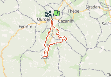
11.4 km | 20 km-effort
MAULEON BAROUSSE la rando de Payremilla (G3) faite le 23/10/2020
marmotte65
User GUIDE
Length
11.6 km
Max alt
896 m
Uphill gradient
398 m
Km-Effort
16.9 km
Min alt
579 m
Downhill gradient
397 m
Boucle
Yes
Creation date :
2020-10-23 07:26:53.772
Updated on :
2020-10-23 15:08:15.979
5h03
Difficulty : Medium
FREE GPS app for hiking
About
Trail Walking of 11.6 km to be discovered at Occitania, Hautespyrenees, Mauléon-Barousse. This trail is proposed by marmotte65.
Description
Prevoir un départ à 8h15 de Idron et 8h30 de Ger de maniere à arriver a l'aire de PN aux environ de 12h
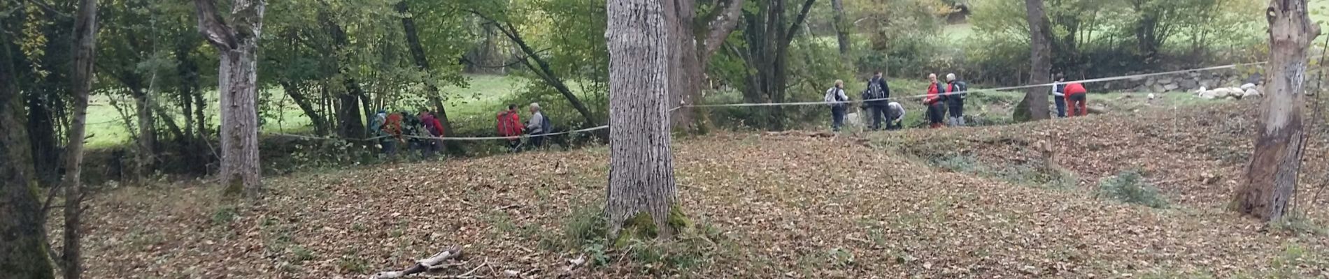
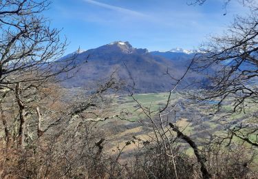
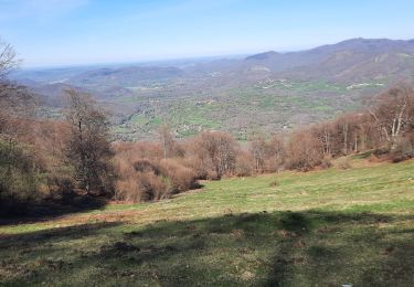
Positioning
Country:
France
Region :
Occitania
Department/Province :
Hautespyrenees
Municipality :
Mauléon-Barousse
Location:
Unknown
Start:(Dec)
Start:(UTM)
301547 ; 4759029 (31T) N.
Comments
Trails nearby
sommet d'Herbe Rouge en boucle depuis Antichan
Walking
Medium
Antichan,
Occitania,
Hautespyrenees,
France
5h 47min
Yes
MAULEON-BAROUSSE la boucle des 2 ourses G3 2703781
Walking
Easy
Mauléon-Barousse,
Occitania,
Hautespyrenees,
France
9.5 km | 14.9 km-effort
2h 50min
Yes
randonnée sur le Touroc depuis Bramevaque
Walking
Medium
Bramevaque,
Occitania,
Hautespyrenees,
France
9.3 km | 16.7 km-effort
3h 38min
Yes
MAULEON BAROUSSE Circuit des amis du Lac "3366699" fait reco
Walking
Difficult
Mauléon-Barousse,
Occitania,
Hautespyrenees,
France
11.5 km | 19.1 km-effort
3h 45min
Yes
pic de Douly en boucle depuis Ferrère
Walking
Medium
Ferrère,
Occitania,
Hautespyrenees,
France
12.4 km | 25 km-effort
5h 56min
Yes
marrouye depuis le pied du Touroc
Walking
Medium
Sacoué,
Occitania,
Hautespyrenees,
France
15 km | 25 km-effort
6h 12min
Yes
Mauleon Barousse-Esbareich-Ourde
On foot
Very easy
(1)
Mauléon-Barousse,
Occitania,
Hautespyrenees,
France
7.2 km | 11.3 km-effort
3h 0min
Yes
Le Tourroc depuis Sacoué 65
Walking
Easy
Sacoué,
Occitania,
Hautespyrenees,
France
9.5 km | 22 km-effort
5h 5min
Yes
Mauléon Esbareich Boucle
Walking
Medium
Mauléon-Barousse,
Occitania,
Hautespyrenees,
France
7.5 km | 11.3 km-effort
2h 45min
Yes