Trail Walking Soveria - autour de Sovzria - Photo

autour de Sovzria

© OpenStreetMap contributors
Length
Length
9.3 km
Max alt
Max alt
768 m
Uphill gradient
Uphill gradient
441 m
Km-Effort
Km-Effort  
15.2 km
Min alt
Min alt
503 m
Downhill gradient
Downhill gradient
442 m
Boucle
Boucle
Yes
Creation date :
25/10/2020 08:31
Updated on :
25/10/2020 22:52

(0 Reviews)

Walking
Walking
3h38
Difficulty : Easy

Scan this QR Code to open this trail in the SityTrail application

FREE GPS app for hiking

Logo SityTrail SityTrail

IGN / Geographical institutes

Download SityTrail from the App Store Download SityTrail from Google Play

Logo SityTrail SityTrail Plus

The world is yours!

Download SityTrail from the App Store Download SityTrail from Google Play Download SityTrail on Huawei AppGallery

About

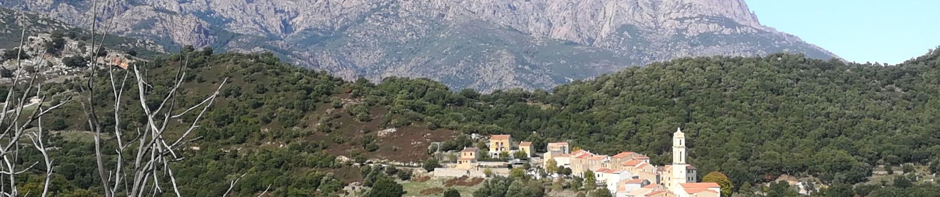
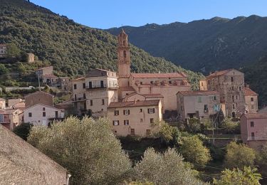
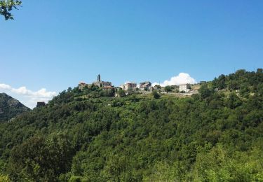
Trail Walking of 9.3 km to be discovered at Corsica, Haute-Corse, Soveria. This trail is proposed by olivecoco.

Description

Nous voulions relier soveria à Tralo'ca, mais le. Chemin est mal entretenu.

Elevation profile

Photos

Positioning

Country:
France
Region :
Corsica
Department/Province :
Haute-Corse
Municipality :
Soveria
Location:
Unknown
Start:(UTM)
513421 ; 4689877 (32T) N.


Close
My subscriptions