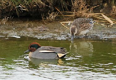
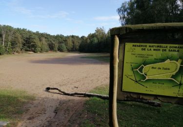
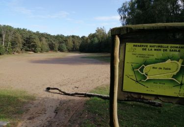
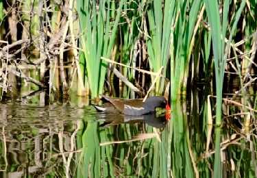
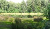
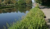
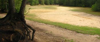
Trail Walking Bernissart - GG-Ht-08_Erbisoeul - Blaton - Photo

GG-Ht-08_Erbisoeul - Blaton

Randonnez sur et autour des GR ® wallons (Sentiers de Grande Randonnée). PRO

© OpenStreetMap contributors
Length
Length
26 km
Max alt
Max alt
110 m
Uphill gradient
Uphill gradient
264 m
Km-Effort
Km-Effort  
29 km
Min alt
Min alt
18 m
Downhill gradient
Downhill gradient
241 m
Boucle
Boucle
No
Creation date :
2020-10-26 09:26:22.278
Updated on :
2023-10-10 09:44:16.833

(2 Reviews)

Walking
Walking
6h30
Difficulty : Very difficult

Scan this QR Code to open this trail in the SityTrail application

FREE GPS app for hiking

Logo SityTrail SityTrail
IGN / Geographical institutes

Download SityTrail from the App Store Download SityTrail from Google Play

Logo SityTrail SityTrail World
The world is yours!

Download SityTrail from the App Store Download SityTrail from Google Play Download SityTrail on Huawei AppGallery

About

Trail Walking of 26 km to be discovered at Wallonia, Hainaut, Bernissart. This trail is proposed by GR Rando.

Description

DE GARE À GARE EN PROVINCE DE HAINAUT
De Blaton à Erbisoeul par le GRP123
Blaton – Harchies – Villerot – Erbisoeul
26 km
Point de départ : gare de Blaton
Point d’arrivée : gare d’Erbisoeul
Autre gare sur le parcours : Harchies
Lignes SNCB : 78 (Mons - Tournai - Lille) et 96 (Bruxelles - Braine-le-Comte - Mons - Quévy)

Attention : il s'agit d'une randonnée de gare à gare, cela signifie que les point de départ et d'arrivée ne sont pas identiques. Un déplacement en train permet leur interconnexion. Veuillez consulter les horaires de la ligne afin d'assurer votre transfert.

Photos

Points of interest

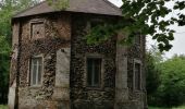
Point of interest Saint-Ghislain - GG-Ht-08-3_Eglise de Villerot - Photo
GR Rando

Positioning

Country:
Belgium
Region :
Wallonia
Department/Province :
Hainaut
Municipality :
Bernissart
Location:
Unknown
Start:(UTM)
547243 ; 5595003 (31U) N.

Comments

Please log in to post a review or rate the element


Trop de se tiers communs avec une rando moto. Paysage industriel,


Trails nearby

Trail Walking Bernissart - Harchies. Natura 2000, des sites qui valent le détour. HT1 - Photo
Walking
GUIDE+

Walking

Very easy
(8)
Bernissart, Wallonia, Hainaut, Belgium
6.7 km | 7.2 km-effort
Unknown
Yes
Trail Walking Belœil - RB-Ha-C1_QR2_16_3_km - Photo
Walking
PRO

Walking

Difficult
(3)
Belœil, Wallonia, Hainaut, Belgium
16.3 km | 18.3 km-effort
4h 2min
Yes
Trail Walking Belœil - RB-Ha-C1_QR_19_5_km - Photo
Walking
PRO

Walking

Very difficult
(3)
Belœil, Wallonia, Hainaut, Belgium
19.4 km | 22 km-effort
4h 49min
Yes
Trail Walking Bernissart - Bon-Secours - Circuit Natura 2000, des sites qui valent le détour - Ht07 - Photo
Walking
GUIDE+

Walking

Easy
(3)
Bernissart, Wallonia, Hainaut, Belgium
6 km | 7.1 km-effort
1h 37min
Yes
Trail Walking Péruwelz - Bon Secours à Condé sur Escaut  - Photo
Walking
Morelli

Walking

Medium
(1)
Péruwelz, Wallonia, Hainaut, Belgium
25 km | 27 km-effort
4h 11min
Yes
Trail Walking Belœil - Chemin de la fontaine bouillante - Photo
Walking

Walking

Very easy
(3)
Belœil, Wallonia, Hainaut, Belgium
3.6 km | 4.2 km-effort
Unknown
Yes
Trail Walking Belœil - Stambruges - Photo
Walking
Chantal123

Walking

Very easy
(1)
Belœil, Wallonia, Hainaut, Belgium
3 km | 3.3 km-effort
38min
No
Trail Walking Péruwelz - bois Bonsecours - Photo
Walking
doclocjl

Walking

Easy
(1)
Péruwelz, Wallonia, Hainaut, Belgium
7.8 km | 8.9 km-effort
2h 17min
Yes
Trail Walking Belœil - Beloeil - Circuit Natura 2000, des sites qui valent le détour -  Ht06 - Photo
Walking
GUIDE+

Walking

Very easy
(4)
Belœil, Wallonia, Hainaut, Belgium
3.5 km | 4 km-effort
51min
Yes


Close
My subscriptions