Trail Mountain bike Saint-Germain-de-la-Coudre - 1er tour mais à crevé 🤣 - Photo

1er tour mais à crevé 🤣

 Maud Lsl
Maud Lsl

User

© OpenStreetMap contributors
Length
Length
18.9 km
Max alt
Max alt
190 m
Uphill gradient
Uphill gradient
351 m
Km-Effort
Km-Effort  
24 km
Min alt
Min alt
97 m
Downhill gradient
Downhill gradient
351 m
Boucle
Boucle
Yes
Creation date :
2020-11-17 12:07:13.091
Updated on :
2020-11-17 13:47:09.474

(0 Reviews)

Mountain bike
Mountain bike
1h15
Difficulty : Easy

Scan this QR Code to open this trail in the SityTrail application

FREE GPS app for hiking

Logo SityTrail SityTrail

IGN / Geographical institutes

Download SityTrail from the App Store Download SityTrail from Google Play

Logo SityTrail SityTrail World

The world is yours!

Download SityTrail from the App Store Download SityTrail from Google Play Download SityTrail on Huawei AppGallery

About

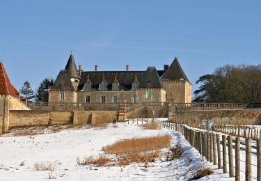
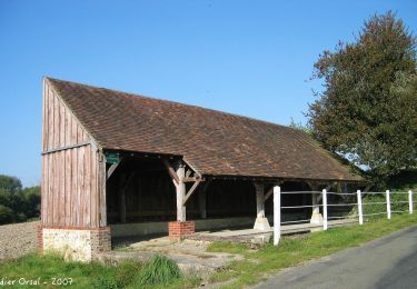
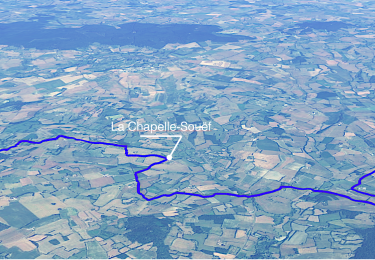
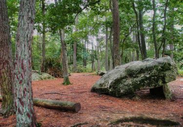
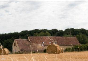
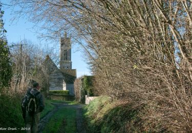
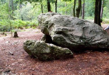
Trail Mountain bike of 18.9 km to be discovered at Normandy, Orne, Saint-Germain-de-la-Coudre. This trail is proposed by Maud Lsl.

Elevation profile

Positioning

Country:
France
Region :
Normandy
Department/Province :
Orne
Municipality :
Saint-Germain-de-la-Coudre
Location:
Unknown
Start:(UTM)
319761 ; 5351328 (31U) N.

Trails nearby

Trail Walking La Chapelle-Souëf - La Chapelle Souef - Les Feugerets 12 Km - Photo
Walking
ODDAD78

Walking

Medium
(1)
La Chapelle-Souëf, Normandy, Orne, France
12 km | 14.1 km-effort
3h 6min
Yes
Trail Walking Igé - Traversées Percheronnes Igé - Sainte-Gauburge Via Appenai-sous-Bellême 20,5 Km - Photo
Walking

Walking

Medium
Igé, Normandy, Orne, France
20 km | 24 km-effort
5h 18min
No
Trail Walking Igé - Igé - Saint-Cyr-la-Rosière  via Appenai-sous-Bellême 20 km - Photo
Walking

Walking

Easy
Igé, Normandy, Orne, France
20 km | 24 km-effort
5h 29min
No
Trail Walking Val-au-Perche - Gémages - Igé 15 km - Photo
Walking

Walking

Easy
Val-au-Perche, Normandy, Orne, France
14.7 km | 17.5 km-effort
7h 2min
No
Trail Walking Igé - Igé - Prieuré de Sainte-Gauburge 18 km - Photo
Walking

Walking

Easy
Igé, Normandy, Orne, France
18.4 km | 23 km-effort
7h 2min
No
Trail Walking Igé - Igé - Saint-Cyr-la-Rosière 18 km - Photo
Walking

Walking

Easy
Igé, Normandy, Orne, France
18.4 km | 23 km-effort
7h 2min
No
Trail Walking Igé - Igé - Saint-Germain-de-la-Coudre 13 km - Photo
Walking

Walking

Medium
Igé, Normandy, Orne, France
12.6 km | 15 km-effort
7h 2min
No
Trail Walking Val-au-Perche - Gémages - Igé via Appenai-sous-Bellême 17 km - Photo
Walking

Walking

Easy
Val-au-Perche, Normandy, Orne, France
16.7 km | 19.4 km-effort
55min
No
Trail Walking Val-au-Perche - Gémages - Saint-Cyr-la-Rosière 11 km - Photo
Walking

Walking

Easy
Val-au-Perche, Normandy, Orne, France
11.2 km | 13.8 km-effort
2h 37min
No


Close
My subscriptions