


rando combe benite

melsacri
User
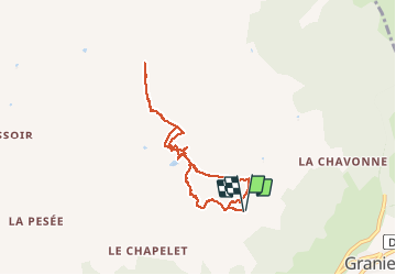

Length
7.2 km

Max alt
2553 m

Uphill gradient
592 m
Km-Effort
15.1 km

Min alt
1995 m

Downhill gradient
593 m
Boucle
Yes
Creation date :
2020-11-28 10:01:06.488
Updated on :
2020-11-28 13:52:43.986
3h50
Difficulty : Very easy

FREE GPS app for hiking
 SityTrail
IGN / Geographical institutes
SityTrail Plus
The world is yours!
About
Trail Walking of 7.2 km to be discovered at Auvergne-Rhône-Alpes, Savoy, Aime-la-Plagne. This trail is proposed by melsacri.
Positioning
Country:
France
Region :
Auvergne-Rhône-Alpes
Department/Province :
Savoy
Municipality :
Aime-la-Plagne
Location:
Granier
Start:(Dec)
Start:(UTM)
315150 ; 5049941 (32T) N.
Comments