


Les Batos depart Ribiers

claude nier
User
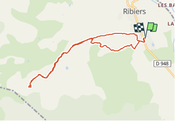

Length
9.5 km

Max alt
828 m

Uphill gradient
330 m
Km-Effort
13.9 km

Min alt
515 m

Downhill gradient
330 m
Boucle
Yes
Creation date :
2020-11-29 12:06:04.479
Updated on :
2020-11-29 16:53:25.216
2h36
Difficulty : Easy

FREE GPS app for hiking
 SityTrail
IGN / Geographical institutes
SityTrail Plus
The world is yours!
About
Trail Walking of 9.5 km to be discovered at Provence-Alpes-Côte d'Azur, Hautes-Alpes, Val-Buëch-Méouge. This trail is proposed by claude nier.
Description
sympa..
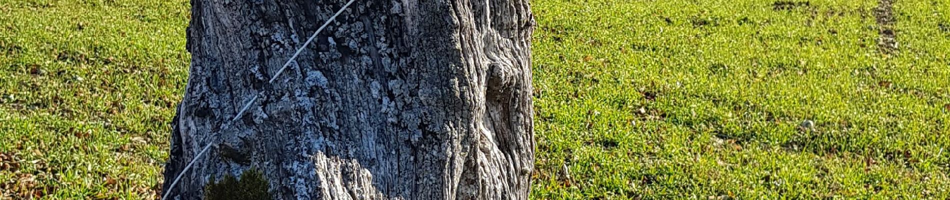
Photos


Positioning
Country:
France
Region :
Provence-Alpes-Côte d'Azur
Department/Province :
Hautes-Alpes
Municipality :
Val-Buëch-Méouge
Location:
Unknown
Start:(Dec)
Start:(UTM)
728546 ; 4900692 (31T) N.
Comments