


Oberdengern

jmbilger
User
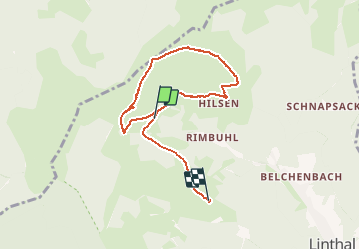

Length
6.6 km

Max alt
1128 m

Uphill gradient
222 m
Km-Effort
9.8 km

Min alt
884 m

Downhill gradient
309 m
Boucle
No
Creation date :
2020-11-30 12:24:32.0
Updated on :
2020-11-30 15:18:03.186
2h52
Difficulty : Unknown

FREE GPS app for hiking
 SityTrail
IGN / Geographical institutes
SityTrail Plus
The world is yours!
About
Trail Walking of 6.6 km to be discovered at Grand Est, Haut-Rhin, Linthal. This trail is proposed by jmbilger.
Positioning
Country:
France
Region :
Grand Est
Department/Province :
Haut-Rhin
Municipality :
Linthal
Location:
Unknown
Start:(Dec)
Start:(UTM)
358042 ; 5313888 (32T) N.
Comments