


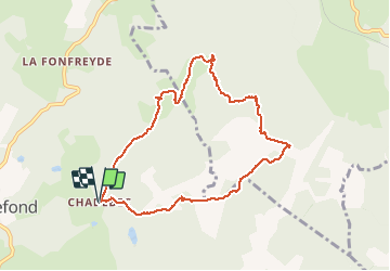

17.8 km | 23 km-effort

User


FREE GPS app for hiking
 SityTrail
IGN / Geographical institutes
SityTrail World
The world is yours!
Trail Walking of 8.7 km to be discovered at New Aquitaine, Corrèze, Bonnefond. This trail is proposed by famille.scharf.
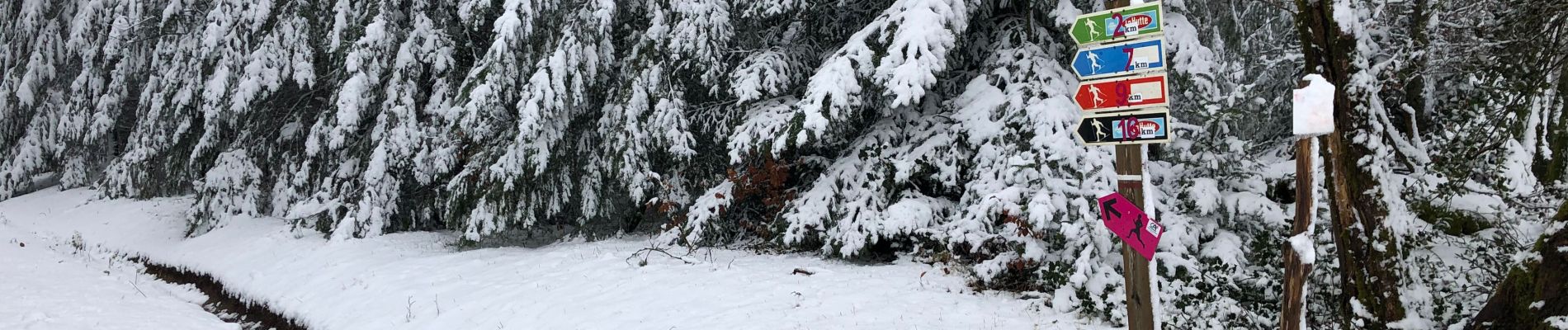
Boucle de ski de fond bleue au départ du foyer de Chadebech


Walking
Walking
Walking
Walking

Mountain bike
Walking

Walking

On foot
Walking